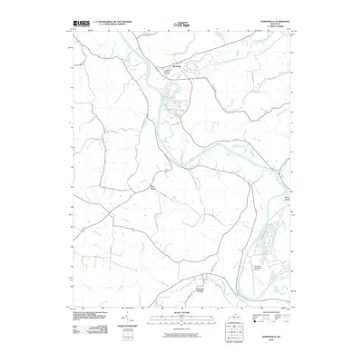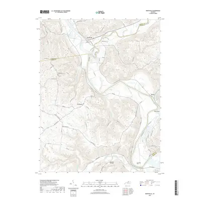
2022 Map of Worthville
USGS Topo · Published 2022About this map
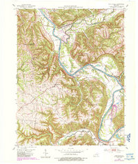
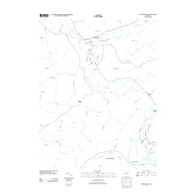
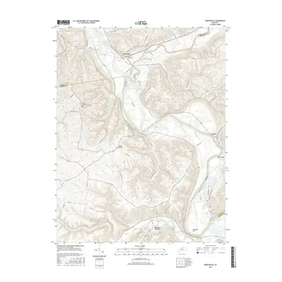
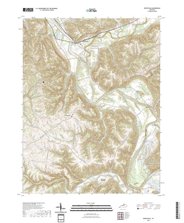
Worthville serves as the focal point of this riverine landscape where the Kentucky River meets Eagle Creek, marking a complex junction of Carroll, Henry, and Owen Counties. The terrain is characterized by the winding waterway and its major turns, such as Horseshoe Bend, which shaped the early settlement patterns and transport routes of the area. Local history is anchored by established community landmarks, including the Worthville Masonic Cem and the Pleasant Union Methodist Church Cem located further west near the Vance Cem.
Find a feature on this map
75 named features on this map. Tap any name to fly to it.
Don’t see what you’re looking for? This feature index may not catch every label — zoom into the map to look around manually.
Map Details
Editions of this 2022 Worthville Map
This is the sole edition of this map. No revisions or reprints were ever made.
Historical Maps of Worthville Through Time
6 maps found