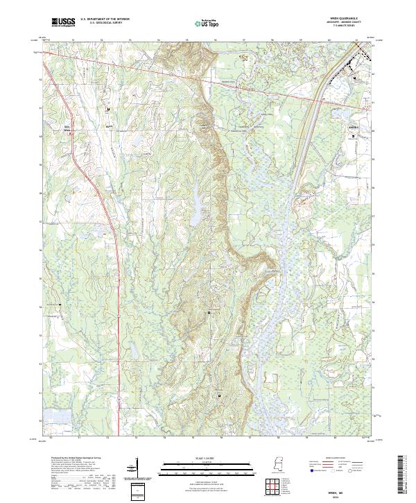
2024 Map of Wren
USGS Topo · Published 2024About this map
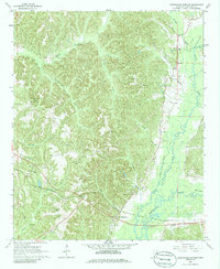
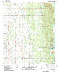
Wren and New Wren anchor the western portion of this Monroe County landscape, where the traditional agricultural character meets the engineered path of the Tennessee-Tombigbee Waterway. The terrain is defined by its relationship to the water, featuring a series of historic river crossings including Waltons Ferry, Fields Ferry, and Bells Ferry. These crossings once connected the upland areas around Colberts Hill to the eastern bottomlands.
Find a feature on this map
96 named features on this map. Tap any name to fly to it.
Don’t see what you’re looking for? This feature index may not catch every label — zoom into the map to look around manually.
Map Details
Editions of this 2024 Wren Map
This is the sole edition of this map. No revisions or reprints were ever made.
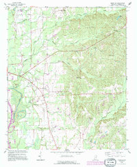
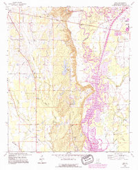
Historical Maps of Tranquil Through Time
18 maps found
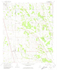
1965 Egypt
Monroe County, MS
1966 Amory SE
Monroe County, MS
1966 Amory SW
Monroe County, MS
1966 Greenwood Springs
Monroe County, MS
1966 Prairie
Monroe County, MS
1966 Turon
Monroe County, MS
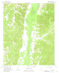
1966 Wren
Monroe County, MS
1987 Strong
Monroe County, MS
1992 Amory SW
Monroe County, MS
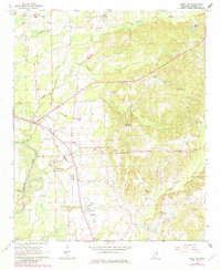
1992 Wren
Monroe County, MS
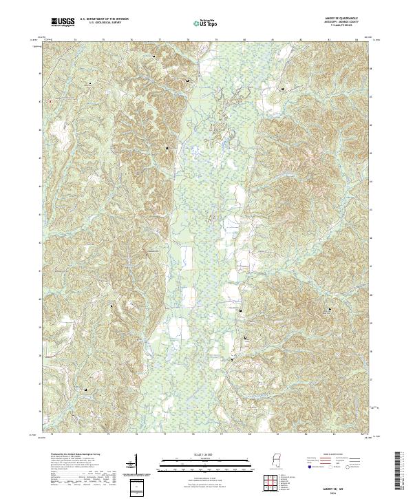
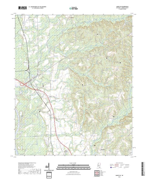
2024 Amory SE
Monroe County, MS
2024 Amory SW
Monroe County, MS
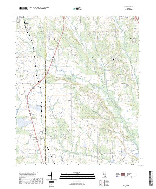
2024 Egypt
Monroe County, MS
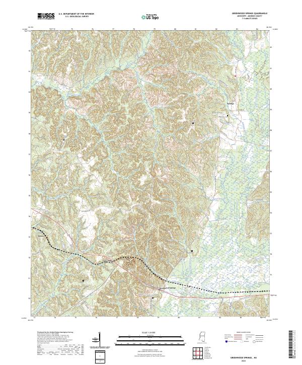
2024 Greenwood Springs
Monroe County, MS
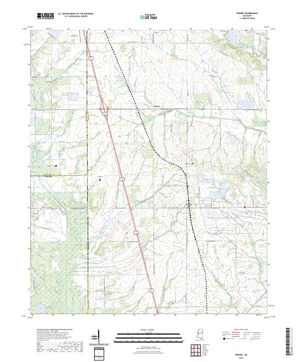
2024 Prairie
Monroe County, MS
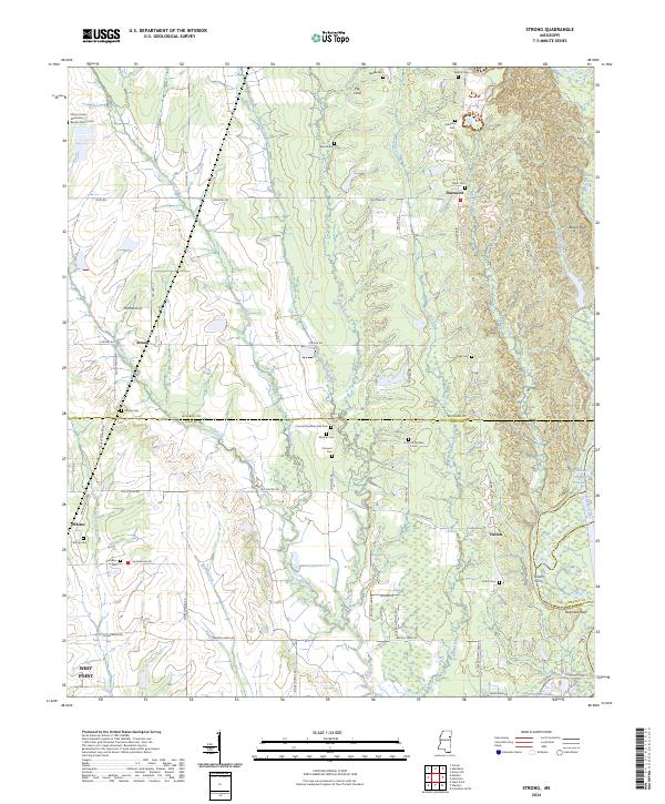
2024 Strong
Monroe County, MS
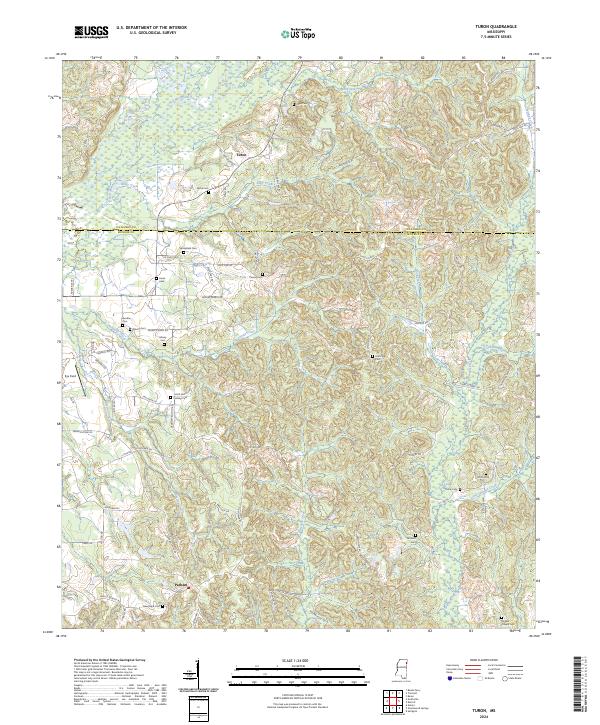
2024 Turon
Monroe County, MS
2024 Wren
Monroe County, MS
Featured Locations
- Cotton Hill Gin Estates, MS
- Wren, MS
- Lake Monroe East Subdivision, MS
- Lake Monroe West Subdivision, MS
- Amory, MS