Loading...
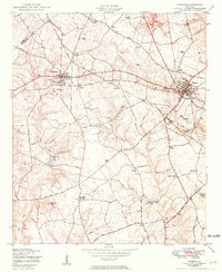
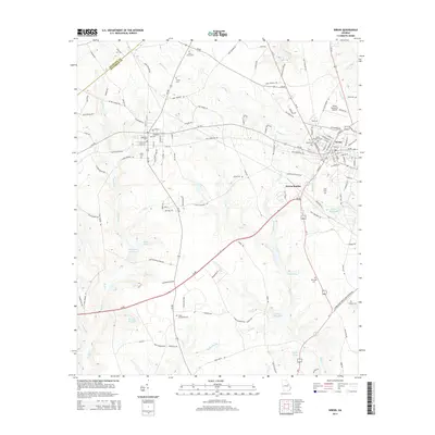
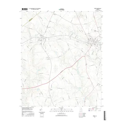
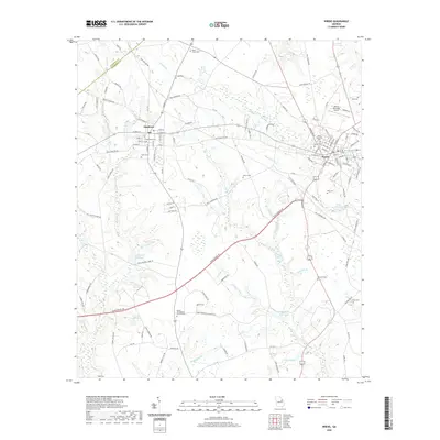
Loading map...1950 Map of Wrens
USGS Topo · Published 1950About this map
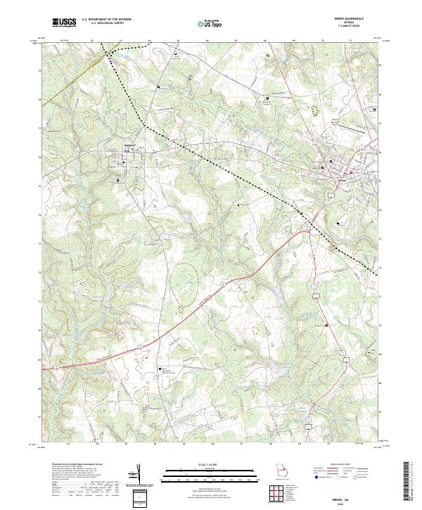
Stapleton and Wrens serve as the primary hubs in this mid-century portrait of eastern Georgia, situated near the Glascock and Jefferson County line. The landscape is defined by its rural institutions, where several locations like the Stone Springfield School Church and Cemetery and Lofton School Church and Cemetery functioned as multi-purpose community centers, housing education, worship, and burial grounds on a single plot.
Find a feature on this map
37 named features on this map. Tap any name to fly to it.
Don’t see what you’re looking for? This feature index may not catch every label — zoom into the map to look around manually.
Map Details
Date Portrayed1950
Date Published1950
PublisherU.S. Geological Survey
Map TypeTopographic
Scale1:24,000
Physical Dimensions22 x 26.8 inches
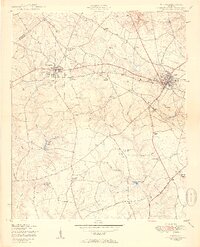
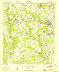
Editions of this 1950 Wrens Map
3 editions found
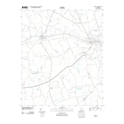
Historical Maps of Wrens Through Time
6 maps found
Featured Locations
Source Details
SourceU.S. Geological Survey
CopyrightPublic Domain