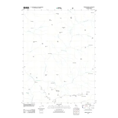
2012 Map of Wrights Ridge
USGS Topo · Published 2012About this map
The Middle Fork Eel River winds through this high-elevation landscape in Trinity County, serving as the central artery for a region defined by its complex ridge systems and seasonal camps. This 2012 survey shows a network of remote outposts and infrastructure, such as the Flournoy Cabin and the Fern Point Bridge, which facilitate access to the surrounding wilderness. The terrain is a mixture of prominent peaks like Shell Mountain and distinctive depressions such as Hole in the Ground. A series of glades and flats, including Sunflower Glade and Lazyman Flat, suggest areas of level ground utilized for backcountry travel. The abundance of named camps, such as Lightning Camp, Saddle Camp, and Watertrough Camp, indicates a landscape primarily used for recreation, forestry, or livestock grazing, connected by rugged routes like the m1 and Forest Service roads near Georges Valley.
Find a feature on this map
61 named features on this map. Tap any name to fly to it.
Don’t see what you’re looking for? This feature index may not catch every label — zoom into the map to look around manually.
Map Details
Editions of this 2012 Wrights Ridge Map
This is the sole edition of this map. No revisions or reprints were ever made.
Other maps of this area

1890 · Red Bluff
USGS Topo · 1:250,000

1894 · Red Bluff
USGS Topo · 1:250,000

1926 · Covelo
USGS Topo · 1:62,500

1931 · Hoaglin
USGS Topo · 1:96,000

1935 · Hoaglin
USGS Topo · 1:125,000

1952 · Covelo
USGS Topo · 1:62,500

1952 · Anthony Peak
USGS Topo · 1:62,500

1953 · Blackrock Mtn
USGS Topo · 1:62,500

1954 · Blackrock Mtn
USGS Topo · 1:62,500

1954 · Yolla Bolly
USGS Topo · 1:62,500