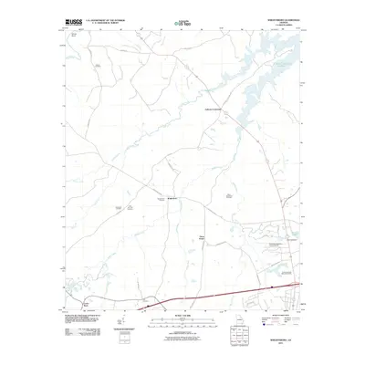
2011 Map of Wrightsboro
USGS Topo · Published 2011About this map
Wrightsboro serves as the focal point of this Eastern Georgia landscape, situated at the junction of Wrightsboro Rd, Stagecoach Rd, and Middle Creek. The area is defined by its deep genealogical roots, marked by several prominent burial grounds including the Wrightsboro Cemetery, Liberty Hill Cemetery, and the Rees-Wade-Short Cemetery. To the north, the terrain gives way to the finger-like reaches of the J. Strom Thurmond Reservoir, while the southern reaches are punctuated by the Thomson-McDuffie County Airport. Small agricultural hubs like Anthony Crossroads, Three Points, and Cedar Rock are connected by a network of rural routes such as Smith Mill Rd and Ridge Rd. The local drainage pattern is dominated by Hart Creek and Mattox Creek, which feed into the larger reservoir system, reflecting the region's transition from historic settlement to modern water management and aviation infrastructure.
Find a feature on this map
39 named features on this map. Tap any name to fly to it.
Don’t see what you’re looking for? This feature index may not catch every label — zoom into the map to look around manually.
Map Details
Editions of this 2011 Wrightsboro Map
This is the sole edition of this map. No revisions or reprints were ever made.
Other maps of this area

1892 · Mc Cormick
USGS Topo · 1:125,000

1906 · Crawfordville
USGS Topo · 1:125,000

1912 · Mc Cormick
USGS Topo · 1:125,000

1921 · Appling
USGS Topo · 1:62,500

1922 · Harlem
USGS Topo · 1:62,500

1943 · Appling
USGS Topo · 1:62,500

1948 · Harlem
USGS Topo · 1:62,500

1948 · Thomson East
USGS Topo · 1:24,000

1950 · Dearing
USGS Topo · 1:24,000

1953 · Athens
USGS Topo · 1:250,000