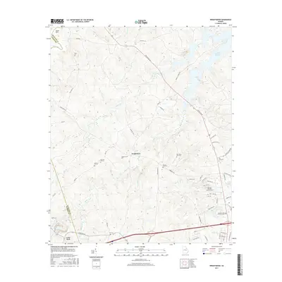
2017 Map of Wrightsboro
USGS Topo · Published 2017About this map
Wrightsboro and its surrounding rural landscapes in McDuffie and Warren counties are defined by a network of creeks and small family-named landmarks. The topography is shaped by the drainage of Hart Creek, Middle Cr, and Factory Cr, with the northern edge of the sheet touching the J. Strom Thurmond Reservoir at Shaws Bend. This area retains much of its agricultural and early-settlement character, visible through the high density of small cemeteries such as Moore Cem, Liberty Hill Cem, and the Rees-Wade-Short Cem. Modern development is concentrated near the south where the Thomson-McDuffie County Airport and Savannah Valley Memorial Garden sit along major transit corridors. The transition from the rural crossroads at Cedar Rock to the reservoir's edge provides a clear view of the region's inland water network, including Little River and Mattox Cr.
Find a feature on this map
68 named features on this map. Tap any name to fly to it.
Don’t see what you’re looking for? This feature index may not catch every label — zoom into the map to look around manually.
Map Details
Editions of this 2017 Wrightsboro Map
This is the sole edition of this map. No revisions or reprints were ever made.
Other maps of this area

1892 · Mc Cormick
USGS Topo · 1:125,000

1906 · Crawfordville
USGS Topo · 1:125,000

1912 · Mc Cormick
USGS Topo · 1:125,000

1921 · Appling
USGS Topo · 1:62,500

1922 · Harlem
USGS Topo · 1:62,500

1943 · Appling
USGS Topo · 1:62,500

1948 · Harlem
USGS Topo · 1:62,500

1948 · Thomson East
USGS Topo · 1:24,000

1950 · Dearing
USGS Topo · 1:24,000

1953 · Athens
USGS Topo · 1:250,000