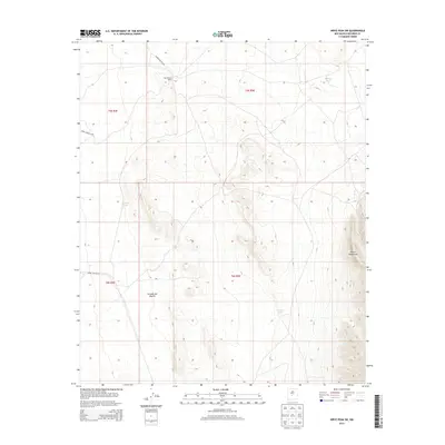
2013 Map of Wrye Peak SW
USGS Topo · Published 2013About this map
Hansenburg Ranch sits at the edge of a high-desert landscape where the Jornada del Muerto desert meets the rising elevations of the Oscura Mountains. This 2013 survey by the U.S. Geological Survey documents the arid terrain of Socorro County, defined by its critical water catchments such as Bulldog Tank, Cornet Tank, and Smith Tank. These features are vital landmarks in a region largely restricted for government use, as indicated by the presence of White Sands Missile Range infrastructure, including WSMR S Route 3623, WSMR S Route 3619, and WSMR P Route 24. The map provides a clear view of the complex topography and section lines of T5S and T6S, illustrating how sparse ranching outposts and military transit routes coexist within the basin and range province.
Find a feature on this map
13 named features on this map. Tap any name to fly to it.
Don’t see what you’re looking for? This feature index may not catch every label — zoom into the map to look around manually.
Map Details
Editions of this 2013 Wrye Peak SW Map
This is the sole edition of this map. No revisions or reprints were ever made.
Other maps of this area

1918 · Oscura Peak
USGS Topo · 1:125,000

1948 · Carthage
USGS Topo · 1:62,500

1948 · Granjean Well
USGS Topo · 1:62,500

1948 · Bingham
USGS Topo · 1:62,500

1948 · Mockingbird Gap
USGS Topo · 1:62,500

1954 · Tularosa
USGS Topo · 1:250,000

1958 · Tularosa
USGS Topo · 1:250,000
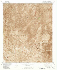
1981 · Greens Baber Well
USGS Topo · 1:24,000
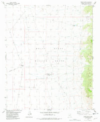
1981 · Trinity Site
USGS Topo · 1:24,000
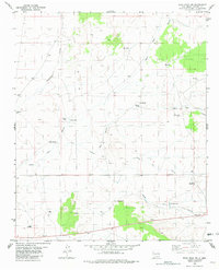
1981 · Wrye Peak NW
USGS Topo · 1:24,000