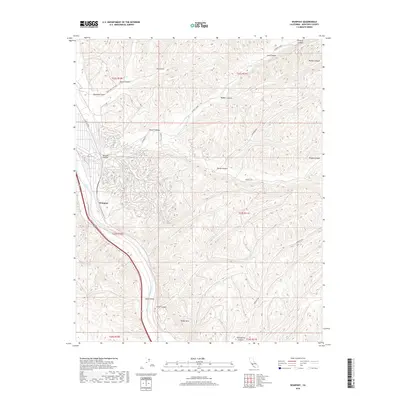
2018 Map of Wunpost
USGS Topo · Published 2018About this map
The Salinas River corridor defines the western edge of this landscape, where the settlement of Wunpost sits near the river’s path and the intersection of Railroad St. East of the river, the terrain rises into a complex network of canyons and gulches, including the distinctive Powell Canyon and Sheep Canyon. The geography reflects a ranching and rural transport history, evidenced by winding routes like Sargents Rd and Deadmans Gulch Rd that navigate the high ground around Semas Mtn. Further south, the terrain opens into Swain Valley, a notable break in the upland topography. This 2018 survey captures a contemporary view of these traditional names, from Portuguese Canyon to Sargent Cr, showing how the land is divided into township and range sections.
Find a feature on this map
25 named features on this map. Tap any name to fly to it.
Don’t see what you’re looking for? This feature index may not catch every label — zoom into the map to look around manually.
Map Details
Editions of this 2018 Wunpost Map
This is the sole edition of this map. No revisions or reprints were ever made.
Other maps of this area

1912 · San Ardo
USGS Topo · 1:31,680

1915 · Priest Valley
USGS Topo · 1:125,000

1919 · San Miguel
USGS Topo · 1:62,500

1919 · Bradley
USGS Topo · 1:62,500

1941 · Priest Valley
USGS Topo · 1:62,500

1941 · San Ardo
USGS Topo · 1:62,500

1941 · Bradley
USGS Topo · 1:62,500

1943 · San Ardo
USGS Topo · 1:62,500

1944 · Priest Valley
USGS Topo · 1:62,500

1947 · San Luis Obispo
USGS Topo · 1:250,000