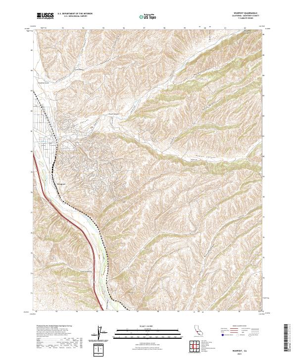
2021 Map of Wunpost
USGS Topo · Published 2021About this map
The Salinas River carves a path through the southern Monterey County landscape, serving as a primary corridor for transportation and water in this arid region. The settlement of Wunpost is positioned near the riverbanks, where the valley floor begins its ascent into a complex network of ridges and drainage systems. This 2021 survey illustrates how the local topography is defined by significant landmarks such as Semas Mtn and expansive corridors like Swain Valley and Hames Valley. The map reveals a land divided by dozens of distinct canyons, including Portuguese Canyon, Sargent Canyon, and Walker Canyon, which have historically shaped the routes of local thoroughfares like Sargents Rd and Railroad St. For the researcher, this sheet provides a high-resolution view of the interplay between the river valley's agricultural potential and the demanding terrain of the surrounding hills.
Find a feature on this map
27 named features on this map. Tap any name to fly to it.
Don’t see what you’re looking for? This feature index may not catch every label — zoom into the map to look around manually.
Map Details
Editions of this 2021 Wunpost Map
This is the sole edition of this map. No revisions or reprints were ever made.
Other maps of this area

1912 · San Ardo
USGS Topo · 1:31,680

1915 · Priest Valley
USGS Topo · 1:125,000

1919 · San Miguel
USGS Topo · 1:62,500

1919 · Bradley
USGS Topo · 1:62,500

1941 · Priest Valley
USGS Topo · 1:62,500

1941 · San Ardo
USGS Topo · 1:62,500

1941 · Bradley
USGS Topo · 1:62,500

1943 · San Ardo
USGS Topo · 1:62,500

1944 · Priest Valley
USGS Topo · 1:62,500

1947 · San Luis Obispo
USGS Topo · 1:250,000