Loading...
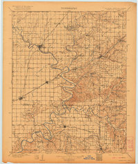
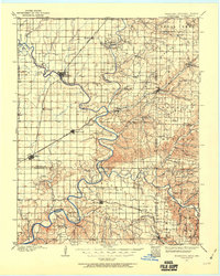
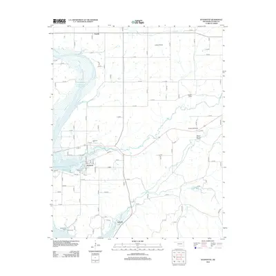
Loading map...1909 Map of Wyandotte
USGS Topo · Published 1921About this map
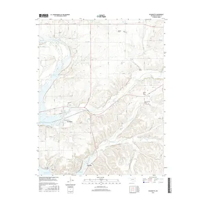
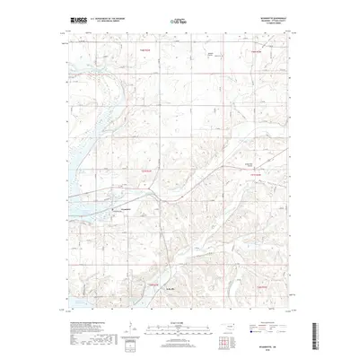
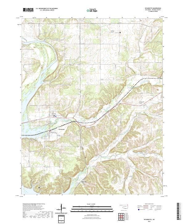
The Neosho River and Spring River converge in this northeastern corner of Oklahoma, creating a landscape defined by winding waterways and ferry crossings. This survey captures a vital period of growth for the Tri-State area before later dam projects altered the river courses. Major transit hubs like Miami, Fairland, and Afton are connected by the St Louis and San Francisco RR, while smaller settlements such as Narcissa, Ogeechee, and Wyandotte dot the prairie.
Find a feature on this map
100 named features on this map. Tap any name to fly to it.
Don’t see what you’re looking for? This feature index may not catch every label — zoom into the map to look around manually.
Map Details
Date Portrayed1909
Date Published1921
PublisherU.S. Geological Survey
Map TypeTopographic
Scale1:125,000
Physical Dimensions17 x 20.2 inches
Editions of this 1909 Wyandotte Map
2 editions found

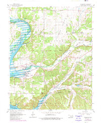
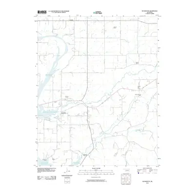
Historical Maps of Miami Through Time
8 maps found
Featured Locations
Source Details
SourceU.S. Geological Survey
CopyrightPublic Domain