Loading...
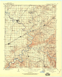
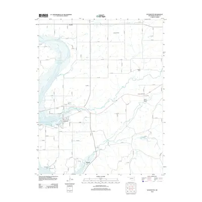
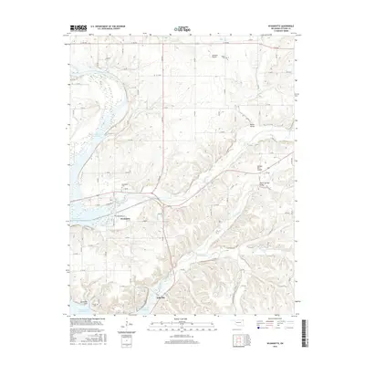
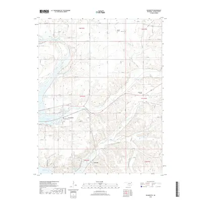
Loading map...1907 Map of Wyandotte
USGS Topo · Published 1960About this map
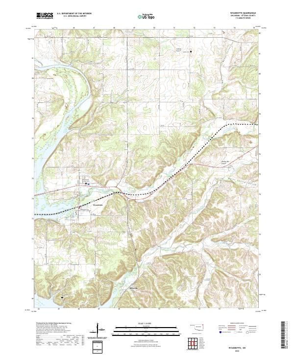
The confluence of the Spring River and Neosho River forms the geographic heart of this early twentieth-century survey, a region then defined by its tribal lands and river-dependent commerce. Before modern dam projects altered these watercourses, the landscape was tied together by numerous river crossings like Donahoo Ferry, Good Eagle Ferry, and Modoc Ferry. The St. Louis and San Francisco RR provides the primary industrial artery, connecting established hubs like Miami, Afton, and Wyandotte.
Find a feature on this map
96 named features on this map. Tap any name to fly to it.
Don’t see what you’re looking for? This feature index may not catch every label — zoom into the map to look around manually.
Map Details
Date Portrayed1907
Date Published1960
PublisherU.S. Geological Survey
Map TypeTopographic
Scale1:125,000
Physical Dimensions17.1 x 21.3 inches
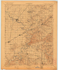
Editions of this 1907 Wyandotte Map
2 editions found

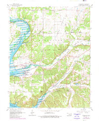
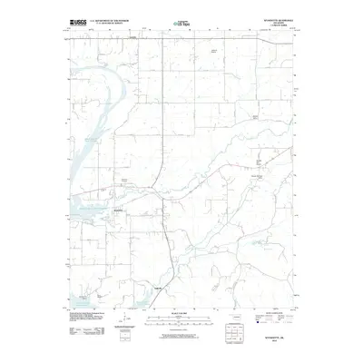
Historical Maps of Miami Through Time
8 maps found
Featured Locations
Source Details
SourceU.S. Geological Survey
CopyrightPublic Domain