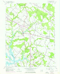
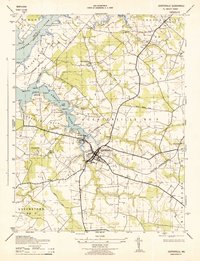
1942 Map of Wye Mills
USGS Topo · Published 1976About this map
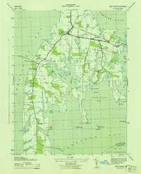
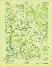
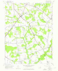
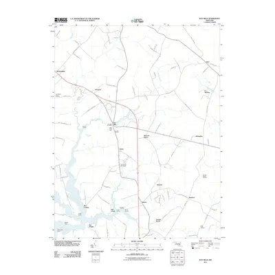
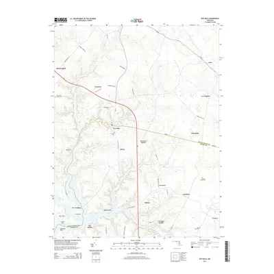
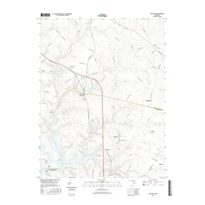
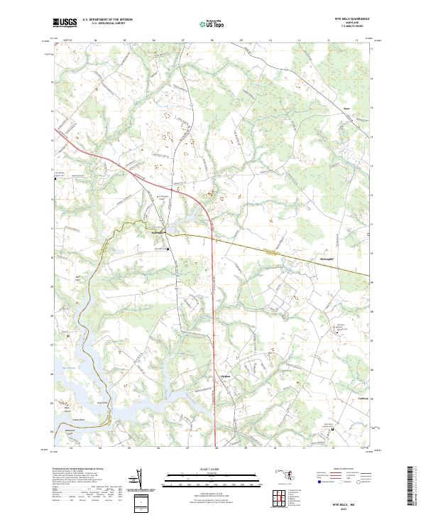
Wye Mills serves as a historic nexus on this mid-century survey of the Eastern Shore, where the boundaries of Queen Anne's and Talbot counties meet. The landscape is defined by the intricate tidal reaches of the Wye River and Wye East River, framing Wye Island and the Wye Narrows. This document preserves the footprint of early Maryland rural life, showing the distribution of small settlements like Skipton and Willoughby alongside local institutions such as Old St Joseph Ch and St Pauls Ch. Of particular note is Wye Oak State Park, which at this time protected the legendary White Oak, once the largest of its species in the United States. The mapping also tracks infrastructure changes through the early 1970s, including the grounds of Chesapeake College and the route of the Baltimore and Eastern railroad, reflecting the slow evolution of this agricultural and maritime region.
Find a feature on this map
21 named features on this map. Tap any name to fly to it.
Don’t see what you’re looking for? This feature index may not catch every label — zoom into the map to look around manually.
Map Details
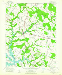
Editions of this 1942 Wye Mills Map
2 editions found
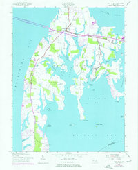
Historical Maps of Wye Mills Through Time
28 maps found
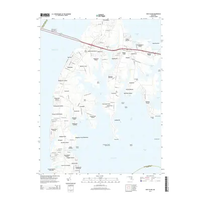
1942 Kent Island
Queen Anne's County, MD
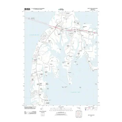
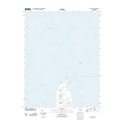
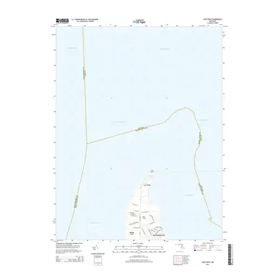
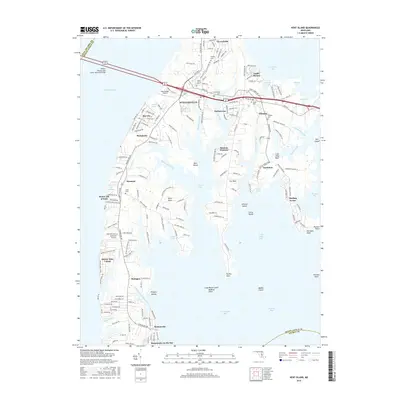
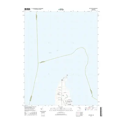
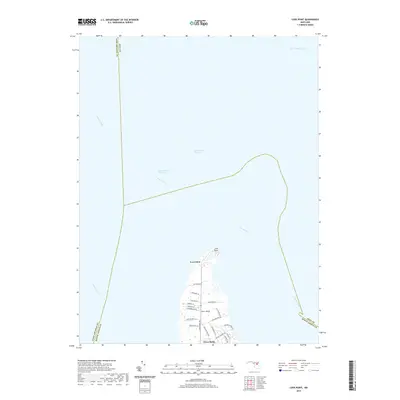
1942 Love Point
Queen Anne's County, MD
1942 Wye Mills
Queen Anne's County, MD
1943 Centerville
Queen Anne's County, MD
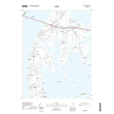
1943 Kent Island
Queen Anne's County, MD
1943 Wye Mills
Queen Anne's County, MD
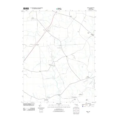
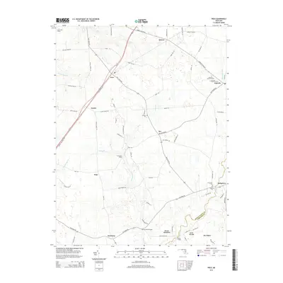
1944 Price
Queen Anne's County, MD
1953 Love Point
Queen Anne's County, MD
2011 Kent Island
Queen Anne's County, MD
2011 Love Point
Queen Anne's County, MD
2011 Price
Queen Anne's County, MD
2011 Wye Mills
Queen Anne's County, MD
2014 Kent Island
Queen Anne's County, MD
2014 Love Point
Queen Anne's County, MD
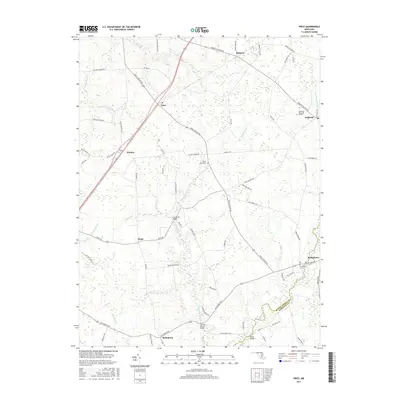
2014 Price
Queen Anne's County, MD
2014 Wye Mills
Queen Anne's County, MD
2016 Kent Island
Queen Anne's County, MD
2016 Wye Mills
Queen Anne's County, MD
2017 Love Point
Queen Anne's County, MD
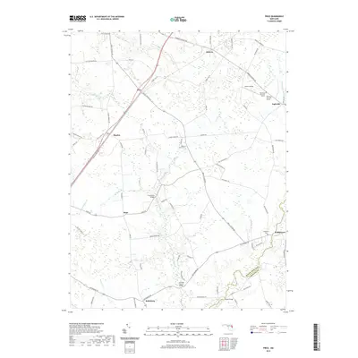
2017 Price
Queen Anne's County, MD
2019 Kent Island
Queen Anne's County, MD
2019 Love Point
Queen Anne's County, MD
2019 Price
Queen Anne's County, MD
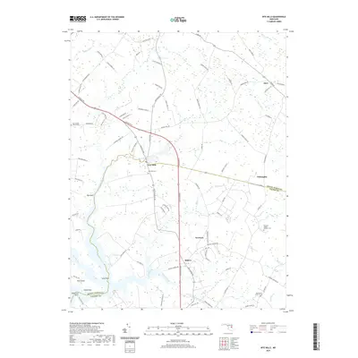
2019 Wye Mills
Queen Anne's County, MD
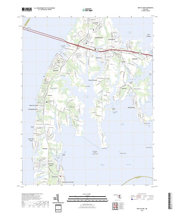
2023 Kent Island
Queen Anne's County, MD
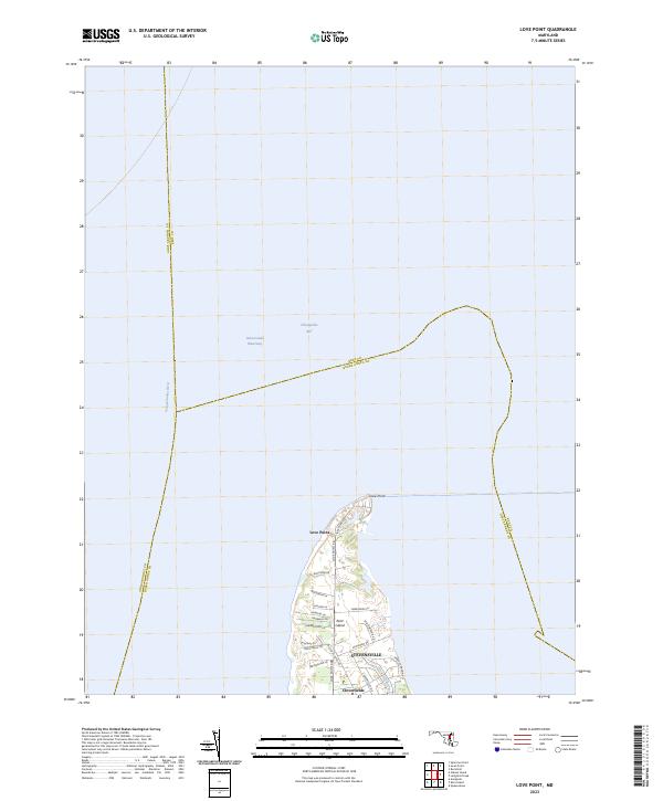
2023 Love Point
Queen Anne's County, MD
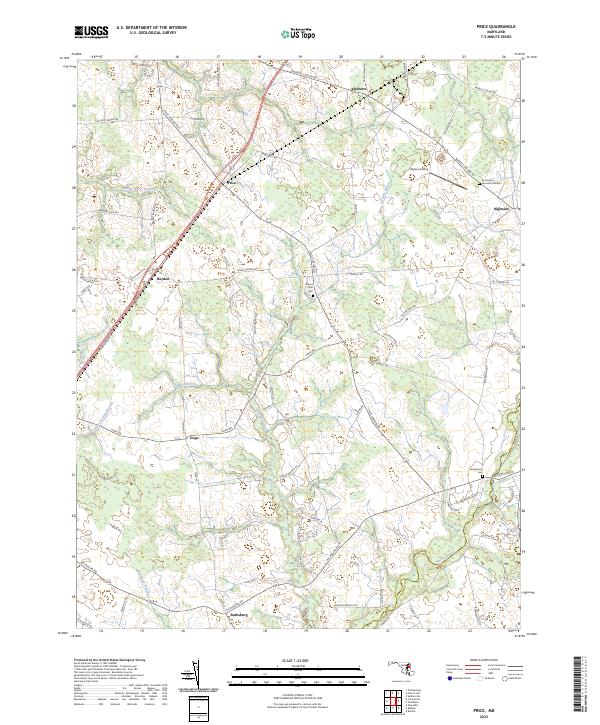
2023 Price
Queen Anne's County, MD
2023 Wye Mills
Queen Anne's County, MD