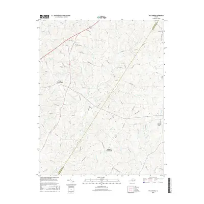
2016 Map of Wylliesburg
USGS Topo · Published 2016About this map
Wylliesburg serves as a central hub in this Southern Virginia landscape, where the traditional agricultural character of Charlotte and Mecklenburg counties meets modern infrastructure. The terrain is defined by an intricate network of waterways, including Bluestone Cr and the uniquely named Peckerwood Br, which drain the varied topography. Settlement patterns are concentrated at historic junctions such as Kings Crossroads and Philbeck Crossroads, reflecting the enduring importance of road connectivity in this rural region.
Find a feature on this map
92 named features on this map. Tap any name to fly to it.
Don’t see what you’re looking for? This feature index may not catch every label — zoom into the map to look around manually.
Map Details
Editions of this 2016 Wylliesburg Map
This is the sole edition of this map. No revisions or reprints were ever made.
Other maps of this area
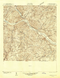
1941 · Clarksville
USGS Topo · 1:48,000
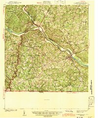
1943 · Clarksville
USGS Topo · 1:62,500

1953 · Greensboro
USGS Topo · 1:250,000

1954 · Greensboro
USGS Topo · 1:250,000
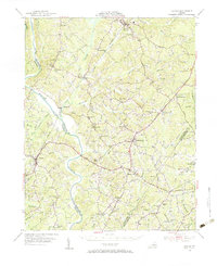
1954 · Clover
USGS Topo · 1:62,500
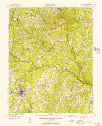
1955 · Chase City
USGS Topo · 1:62,500
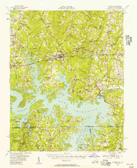
1955 · Boydton
USGS Topo · 1:62,500
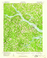
1957 · Clarksville
USGS Topo · 1:62,500

1962 · Greensboro
USGS Topo · 1:250,000

1966 · Greensboro
USGS Topo · 1:250,000