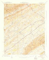
1938 Map of Wyndale
USGS Topo · Published 1938About this map
The valley-and-ridge landscape of Washington County comes into sharp focus here, defined by the parallel paths of Walker Mountain and the Norfolk and Western railroad. This transportation corridor dictates the placement of rural hubs like Wyndale and Wallace, where the rail line follows the winding course of Beaver Creek. The map reveals a densely settled rural community before the post-war era, evidenced by numerous small educational and spiritual centers including Needmore Sch and Heavenly Rest Chapel.
Find a feature on this map
78 named features on this map. Tap any name to fly to it.
Don’t see what you’re looking for? This feature index may not catch every label — zoom into the map to look around manually.
Map Details
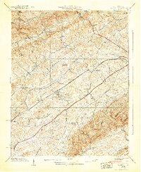
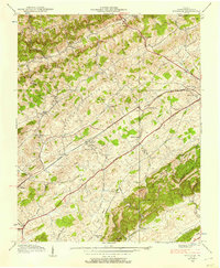
Editions of this 1938 Wyndale Map
3 editions found
Other maps of this area

1891 · Abingdon
USGS Topo · 1:125,000

1894 · Abingdon
USGS Topo · 1:125,000

1897 · Bristol
USGS Topo · 1:125,000

1902 · Bristol
USGS Topo · 1:125,000

1909 · Abingdon
USGS Topo · 1:96,000

1911 · Abingdon
USGS Topo · 1:125,000

1918 · Carterton
USGS Topo · 1:62,500

1934 · Wallace
USGS Topo · 1:24,000

1934 · Holston Valley
USGS Topo · 1:24,000

1934 · Brumley
USGS Topo · 1:24,000