
1960 Map of Wyndale
USGS Topo · Published 1962About this map
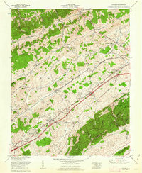
Walker Mountain and the Great Knobs define the northeast-to-southwest orientation of this 1960 landscape, where the Norfolk and Western rail corridor and the Lee Highway track through the valleys. The map documents a period of postwar residential expansion around Abingdon and Wyndale, noted by new developments like Preston Hills and Colonial Heights. Significant local landmarks include the John S Battle High School and a unique landing strip near St John Cemetery.
Find a feature on this map
75 named features on this map. Tap any name to fly to it.
Don’t see what you’re looking for? This feature index may not catch every label — zoom into the map to look around manually.
Map Details
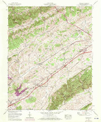
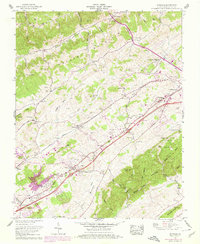
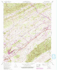
Editions of this 1960 Wyndale Map
5 editions found
Other maps of this area

1891 · Abingdon
USGS Topo · 1:125,000

1894 · Abingdon
USGS Topo · 1:125,000

1897 · Bristol
USGS Topo · 1:125,000

1902 · Bristol
USGS Topo · 1:125,000

1909 · Abingdon
USGS Topo · 1:96,000

1911 · Abingdon
USGS Topo · 1:125,000

1918 · Carterton
USGS Topo · 1:62,500

1934 · Wallace
USGS Topo · 1:24,000

1934 · Holston Valley
USGS Topo · 1:24,000

1934 · Brumley
USGS Topo · 1:24,000