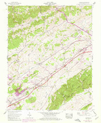
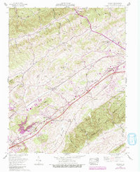
1960 Map of Wyndale
USGS Topo · Published 1978About this map
Old Jonesboro Road and the Lee Highway parallel each other across this valley landscape, documenting the evolution of transportation in Washington County. The Norfolk and Western railroad corridor serves as the primary artery connecting settlements like Wyndale and Fractionville. This 1960s-era topographic view shows a community structured by its topography, where family cemeteries such as the Hortonstine Cem, Pippin Cem, and Withers Cem are tucked into the hollows of Rich Walker Valley and beneath the slopes of Little Mountain. Educational and social hubs appear at the John S Battle High School and Greendale Sch, while spiritual life is anchored by country churches like Maple Grove Ch and Bakers Chapel. Near the border of Bristol, the Col Robert Preston Memorial Bridge crosses above the rail lines, marking a significant engineering point in the local landscape.
Find a feature on this map
87 named features on this map. Tap any name to fly to it.
Don’t see what you’re looking for? This feature index may not catch every label — zoom into the map to look around manually.
Map Details
Editions of this 1960 Wyndale Map
5 editions found
Other maps of this area

1891 · Abingdon
USGS Topo · 1:125,000

1894 · Abingdon
USGS Topo · 1:125,000

1897 · Bristol
USGS Topo · 1:125,000

1902 · Bristol
USGS Topo · 1:125,000

1909 · Abingdon
USGS Topo · 1:96,000

1911 · Abingdon
USGS Topo · 1:125,000

1918 · Carterton
USGS Topo · 1:62,500

1934 · Wallace
USGS Topo · 1:24,000

1934 · Holston Valley
USGS Topo · 1:24,000

1934 · Brumley
USGS Topo · 1:24,000