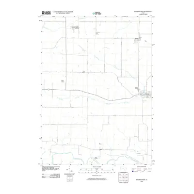
2010 Map of Wyoming West
USGS Topo · Published 2010About this map
The Wapsipinicon River winds through the southern reaches of this Jones County landscape, defining the lowlands near the settlement of Hale. Further north, the agricultural grid is punctuated by the small communities of Center Junction, Onslow, and the western edge of Wyoming. This 2010 survey illustrates a region where local heritage is preserved in numerous burial grounds, including the North Madison Pioneer Cemetery and Madison Village Cemetery, alongside the Madison Center Cemetery.
Find a feature on this map
28 named features on this map. Tap any name to fly to it.
Don’t see what you’re looking for? This feature index may not catch every label — zoom into the map to look around manually.
Map Details
Editions of this 2010 Wyoming West Map
This is the sole edition of this map. No revisions or reprints were ever made.
Other maps of this area

1889 · Tipton
USGS Topo · 1:62,500

1890 · Tipton
USGS Topo · 1:62,500

1891 · Monticello
USGS Topo · 1:62,500

1891 · Baldwin
USGS Topo · 1:62,500

1892 · Wheatland
USGS Topo · 1:62,500

1894 · Wheatland
USGS Topo · 1:62,500

1900 · Anamosa
USGS Topo · 1:125,000

1901 · Peosta
USGS Topo · 1:125,000

1901 · Rock Island
USGS Topo · 1:125,000

1901 · Stanwood
USGS Topo · 1:125,000