
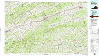
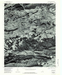
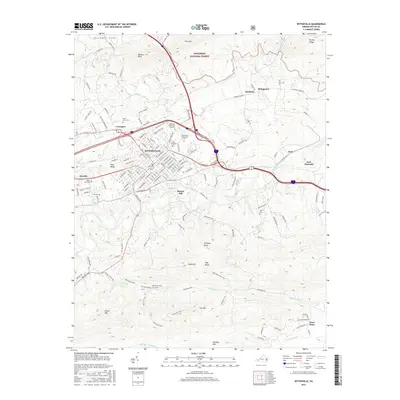
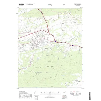
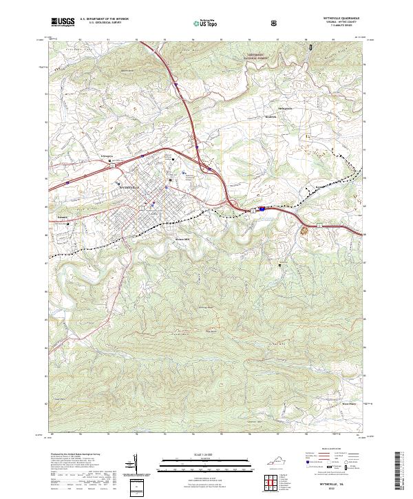
1982 Map of Wytheville
USGS Topo · Published 1983About this map
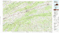
The Iron Mountains and Mount Rogers dominate the southern landscape of this 1982 survey, documenting a region defined by high-elevation peaks and the river valleys that carved the early travel routes of Southwest Virginia. The three forks of the Holston River — North, Middle, and South — parallel the ridges of Clinch Mountain and Walker Mountain, creating a natural corridor for the Norfolk and Western Railway and major thoroughfares like Interstate 81.
Find a feature on this map
174 named features on this map. Tap any name to fly to it.
Don’t see what you’re looking for? This feature index may not catch every label — zoom into the map to look around manually.
Map Details
Editions of this 1982 Wytheville Map
3 editions found
Historical Maps of Abingdon Through Time
10 maps found
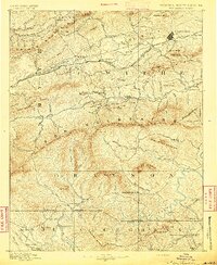
1889 Wytheville
Wythe County, VA
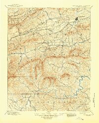
1892 Wytheville
Wythe County, VA
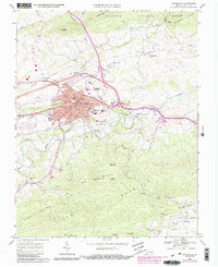
1968 Wytheville
Wythe County, VA
1976 Wytheville
Wythe County, VA
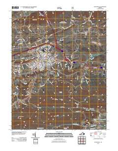
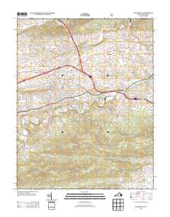
1982 Wytheville
Wythe County, VA
2011 Wytheville
Wythe County, VA
2013 Wytheville
Wythe County, VA
2016 Wytheville
Wythe County, VA
2019 Wytheville
Wythe County, VA
2022 Wytheville
Wythe County, VA