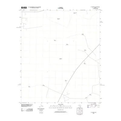
2010 Map of Y T Ranch
USGS Topo · Published 2010About this map
The eponymous YT Ranch serves as the focal point for this 2010 survey of a sparse West Texas landscape. Defined by a network of water-sourcing infrastructure, the area is punctuated by named landmarks like the Bruce and Bar Windmill and the PlumThicket Windmill. The presence of these features, alongside others such as the Humble Windmill and Shell Windmill, underscores the necessity of groundwater management for ranching operations in this arid region.
Find a feature on this map
13 named features on this map. Tap any name to fly to it.
Don’t see what you’re looking for? This feature index may not catch every label — zoom into the map to look around manually.
Map Details
Editions of this 2010 Y T Ranch Map
This is the sole edition of this map. No revisions or reprints were ever made.
Other maps of this area

1954 · Hobbs
USGS Topo · 1:250,000

1954 · Pecos
USGS Topo · 1:250,000

1957 · Pecos
USGS Topo · 1:250,000

1958 · Hobbs
USGS Topo · 1:250,000

1969 · Jal NE
USGS Topo · 1:24,000

1969 · Jal SE
USGS Topo · 1:24,000

1970 · Vesrue
USGS Topo · 1:24,000

1971 · Notrees
USGS Topo · 1:24,000

1971 · Notrees NW
USGS Topo · 1:24,000

1971 · Figure Seven Ranch
USGS Topo · 1:24,000