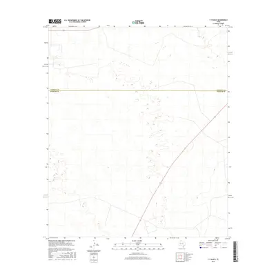
2016 Map of Y T Ranch
USGS Topo · Published 2016About this map
The West Texas landscape along the high plains is defined here by the administrative boundary between Andrews Co and Winkler Co. This particular portion of the Permian Basin region is characterized by a high density of depression contours and scattered wetlands, reflecting the ephemeral hydrology of the arid terrain. Beyond the surveyed county line, the map illustrates a network of local connectors and secondary roads that serve the ranching and industrial operations common to this corner of Texas.
Find a feature on this map
1 named feature on this map. Tap any name to fly to it.
Don’t see what you’re looking for? This feature index may not catch every label — zoom into the map to look around manually.
Map Details
Editions of this 2016 Y T Ranch Map
This is the sole edition of this map. No revisions or reprints were ever made.
Other maps of this area

1954 · Hobbs
USGS Topo · 1:250,000

1954 · Pecos
USGS Topo · 1:250,000

1957 · Pecos
USGS Topo · 1:250,000

1958 · Hobbs
USGS Topo · 1:250,000

1969 · Jal NE
USGS Topo · 1:24,000

1969 · Jal SE
USGS Topo · 1:24,000

1970 · Vesrue
USGS Topo · 1:24,000

1971 · Notrees
USGS Topo · 1:24,000

1971 · Notrees NW
USGS Topo · 1:24,000

1971 · Figure Seven Ranch
USGS Topo · 1:24,000