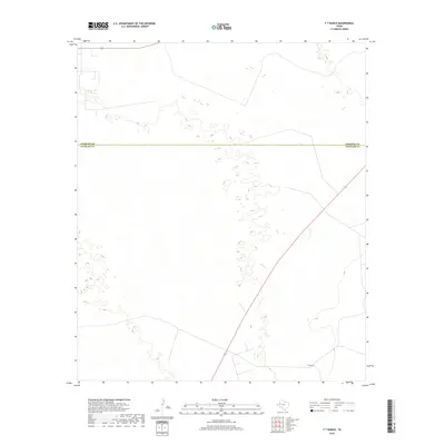
2019 Map of Y T Ranch
USGS Topo · Published 2019About this map
The Yt Ranch and surrounding rangeland define this section of the Permian Basin, where the high plains of the Llano Estacado meet the sandy draws of West Texas. This 2019 survey documents a landscape marked by the boundary between Andrews Co and Winkler Co, a region historically characterized by extensive ranching operations and oil field development. While the terrain appears sparsely settled, the presence of the Yt Ranch serves as a primary landmark for local history, representing the enduring legacy of large-scale cattle ranching in the region. The map reveals the intricate network of local roads and paths that connect these remote outposts across the arid landscape of the Texas Panhandle.
Find a feature on this map
2 named features on this map. Tap any name to fly to it.
Don’t see what you’re looking for? This feature index may not catch every label — zoom into the map to look around manually.
Map Details
Editions of this 2019 Y T Ranch Map
This is the sole edition of this map. No revisions or reprints were ever made.
Other maps of this area

1954 · Hobbs
USGS Topo · 1:250,000

1954 · Pecos
USGS Topo · 1:250,000

1957 · Pecos
USGS Topo · 1:250,000

1958 · Hobbs
USGS Topo · 1:250,000

1969 · Jal NE
USGS Topo · 1:24,000

1969 · Jal SE
USGS Topo · 1:24,000

1970 · Vesrue
USGS Topo · 1:24,000

1971 · Notrees
USGS Topo · 1:24,000

1971 · Notrees NW
USGS Topo · 1:24,000

1971 · Figure Seven Ranch
USGS Topo · 1:24,000