
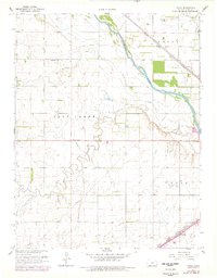
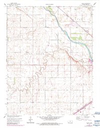
1960 Map of Yaggy
USGS Topo · Published 1961About this map
Arkansas River hydrology and a dense network of competing rail lines define this agricultural landscape in central Kansas. Three major transit corridors converge here, including the Atchison Topeka and Santa Fe, the Missouri Pacific, and the Chicago Rock Island and Pacific railroads. These lines supported small local transit points like Whiteside and the namesake settlement of Yaggy in the northeast.
Find a feature on this map
18 named features on this map. Tap any name to fly to it.
Don’t see what you’re looking for? This feature index may not catch every label — zoom into the map to look around manually.
Map Details
Editions of this 1960 Yaggy Map
3 editions found
Other maps of this area

1889 · Cheney
USGS Topo · 1:125,000

1891 · Hutchinson
USGS Topo · 1:125,000

1891 · Cheney
USGS Topo · 1:125,000

1892 · Kingman
USGS Topo · 1:125,000

1893 · Hutchinson
USGS Topo · 1:125,000

1894 · Kingman
USGS Topo · 1:125,000

1894 · Lyons
USGS Topo · 1:125,000

1901 · Cheney
USGS Topo · 1:125,000

1955 · Wichita
USGS Topo · 1:250,000

1955 · Great Bend
USGS Topo · 1:250,000