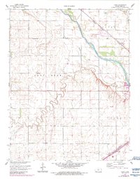
1960 Map of Yaggy
USGS Topo · Published 1983About this map
The Arkansas River carves a diagonal path across this Reno County landscape, defining the character of the river valley as it was documented in the late 1950s and updated in the early 1980s. This region is a study in early Kansas transportation and agriculture, centered around the settlement of Yaggy and the rural junction at Adams Corner. The river’s shifting course is flanked by several tributaries, including the winding Salt Creek and Dry Creek, while the northeast corner is marked by Bull Creek.
Find a feature on this map
16 named features on this map. Tap any name to fly to it.
Don’t see what you’re looking for? This feature index may not catch every label — zoom into the map to look around manually.
Map Details
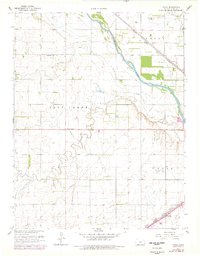
Editions of this 1960 Yaggy Map
3 editions found

Other maps of this area

1889 · Cheney
USGS Topo · 1:125,000

1891 · Hutchinson
USGS Topo · 1:125,000

1891 · Cheney
USGS Topo · 1:125,000

1892 · Kingman
USGS Topo · 1:125,000

1893 · Hutchinson
USGS Topo · 1:125,000

1894 · Kingman
USGS Topo · 1:125,000

1894 · Lyons
USGS Topo · 1:125,000

1901 · Cheney
USGS Topo · 1:125,000

1955 · Wichita
USGS Topo · 1:250,000

1955 · Great Bend
USGS Topo · 1:250,000