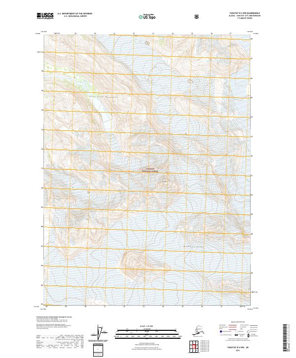
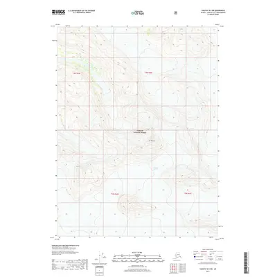
2021 Map of Yakutat B-2 NW
USGS Topo · Published 2021About this map
Saint Elias Mountains terrain dominates this 2021 topographic record of the remote Alaskan wilderness within Tongass National Forest. The landscape is defined by the high elevations of the Brabazon Range and the prominent peak of Mt Redburn, where dramatic vertical relief shapes the drainage patterns of the region. The presence of the Chamberlain Glacier in the southeast corner provides a contemporary benchmark for glacial extent, feeding into the complex braided hydrology of the Dangerous River. This survey captures a workspace for geologists and glaciologists studying the active geomorphology of the Yakutat City and Borough, documenting the exact contours of ice and rock in an area largely devoid of human infrastructure.
Find a feature on this map
10 named features on this map. Tap any name to fly to it.
Don’t see what you’re looking for? This feature index may not catch every label — zoom into the map to look around manually.
Map Details
Editions of this 2021 Yakutat B-2 NW Map
This is the sole edition of this map. No revisions or reprints were ever made.
Other maps of this area

1951 · Yakutat
USGS Topo · 1:250,000

1959 · Yakutat C-3
USGS Topo · 1:63,360

1959 · Yakutat B-3
USGS Topo · 1:63,360

1959 · Yakutat B-2
USGS Topo · 1:63,360

1959 · Yakutat
USGS Topo · 1:250,000

1985 · Yakutat C-2
USGS Topo · 1:63,360
2017 · Yakutat B-2 NE
USGS Topo · 1:25,000
2017 · Yakutat C-3 SE
USGS Topo · 1:25,000
2017 · Yakutat C-2 SW
USGS Topo · 1:25,000
2017 · Yakutat B-2 NW
USGS Topo · 1:25,000