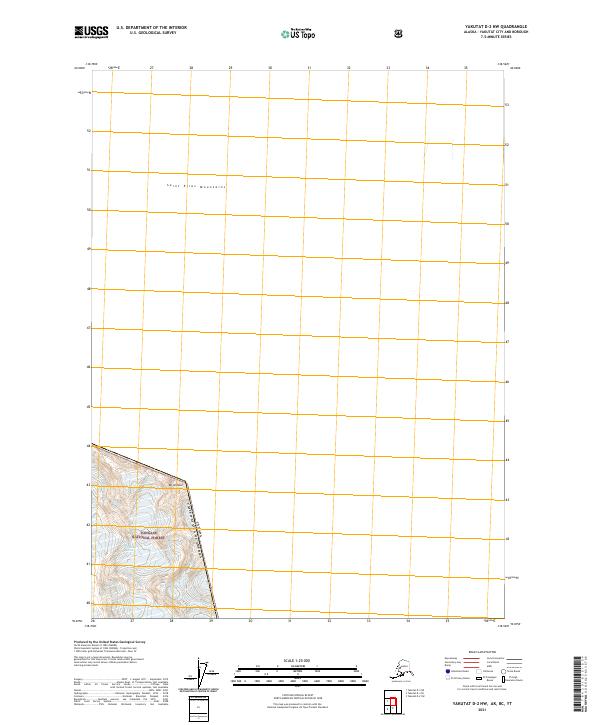
2021 Map of Yakutat D-2 NW
USGS Topo · Published 2021About this map
Saint Elias Mountains dominate the high-elevation landscape of this remote corner of Alaska, where the international boundary between Canada and the United States cuts across the steep alpine terrain. The map focuses on a largely uninhabited and unroaded portion of the Tongass National Forest, centered around the slopes of Mt Armour. This 2021 survey serves as a modern topographical record of the glaciated peaks and ridgelines that define the frontier, highlighting the extreme topography and ice-fields characteristic of the northern Pacific coast ranges. The boundary line follows the natural crests and survey points, separating the Alaskan wilderness from British Columbia, with no evidence of human development or infrastructure within the immediate vicinity of these peaks.
Find a feature on this map
5 named features on this map. Tap any name to fly to it.
Don’t see what you’re looking for? This feature index may not catch every label — zoom into the map to look around manually.
Map Details
Editions of this 2021 Yakutat D-2 NW Map
This is the sole edition of this map. No revisions or reprints were ever made.
Other maps of this area

1951 · Yakutat
USGS Topo · 1:250,000

1951 · Mt Saint Elias
USGS Topo · 1:250,000

1959 · Yakutat D-3
USGS Topo · 1:63,360

1959 · Yakutat
USGS Topo · 1:250,000

1959 · Mt Saint Elias
USGS Topo · 1:250,000
1985 · Mount Saint Elias A-3
USGS Topo · 1:63,360
1985 · Yakutat D-2
USGS Topo · 1:63,360
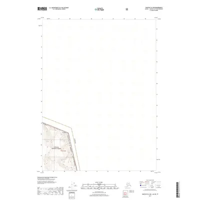
2017 · Yakutat D-2 NW
USGS Topo · 1:25,000
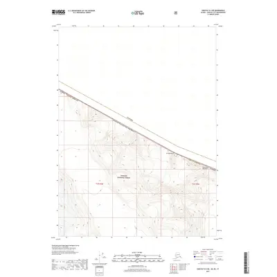
2017 · Yakutat D-3 NE
USGS Topo · 1:25,000
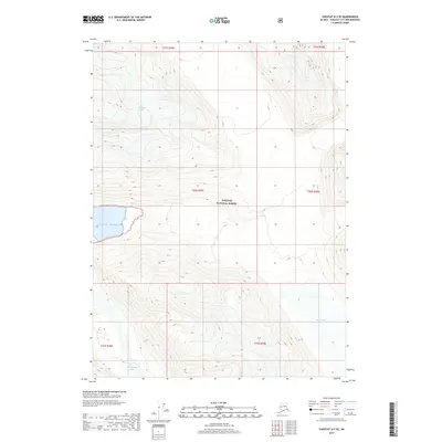
2017 · Yakutat D-3 SE
USGS Topo · 1:25,000