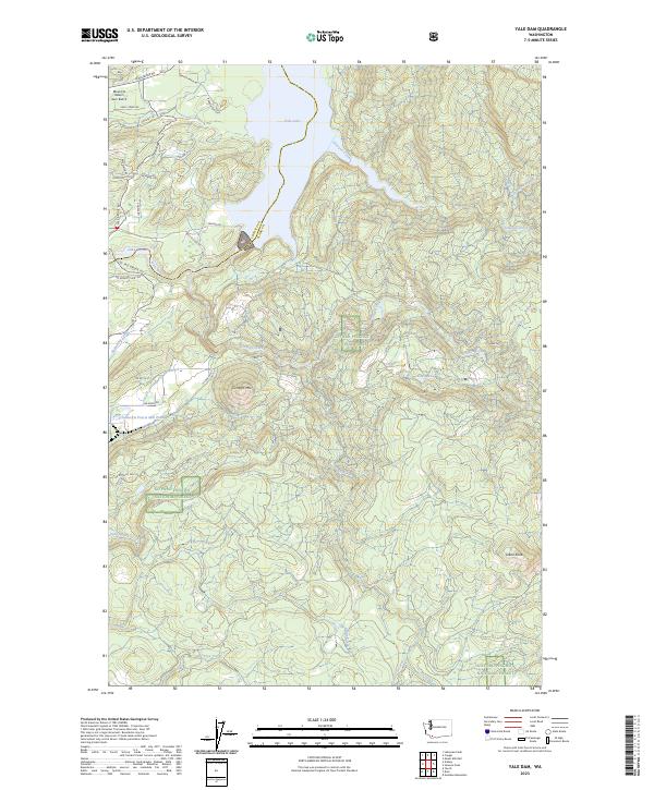
2023 Map of Yale Dam
USGS Topo · Published 2023About this map
Yale Lake and Lake Merwin dominate the northwestern portion of this terrain, where the Lewis River is impounded along the border of Cowlitz and Clark Counties. The landscape is defined by the sharp transition from these water bodies into the heavily forested uplands of the Gifford Pinchot National Forest. Geologic landmarks like the volcanic silhouette of Tumtum Mtn and the high points of Bare Mt and Green Knob overlook a dense network of drainages, including Siouxon Creek and Canyon Creek.
Find a feature on this map
40 named features on this map. Tap any name to fly to it.
Don’t see what you’re looking for? This feature index may not catch every label — zoom into the map to look around manually.
Map Details
Editions of this 2023 Yale Dam Map
This is the sole edition of this map. No revisions or reprints were ever made.
Historical Maps of Clark County Through Time
14 maps found
1954 Lacamas Creek
Clark County, WA
1971 Ariel
Clark County, WA
1986 Dole
Clark County, WA
1986 Larch Mtn
Clark County, WA
1986 Yale Dam
Clark County, WA
1990 Lacamas Creek
Clark County, WA
2000 Dole
Clark County, WA
2000 Larch Mountain
Clark County, WA
2000 Yale Dam
Clark County, WA
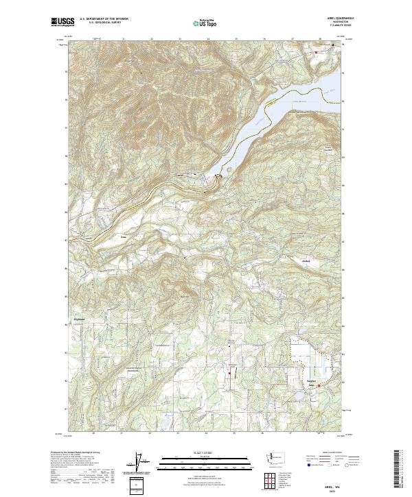
2023 Ariel
Clark County, WA
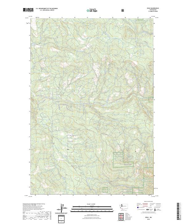
2023 Dole
Clark County, WA
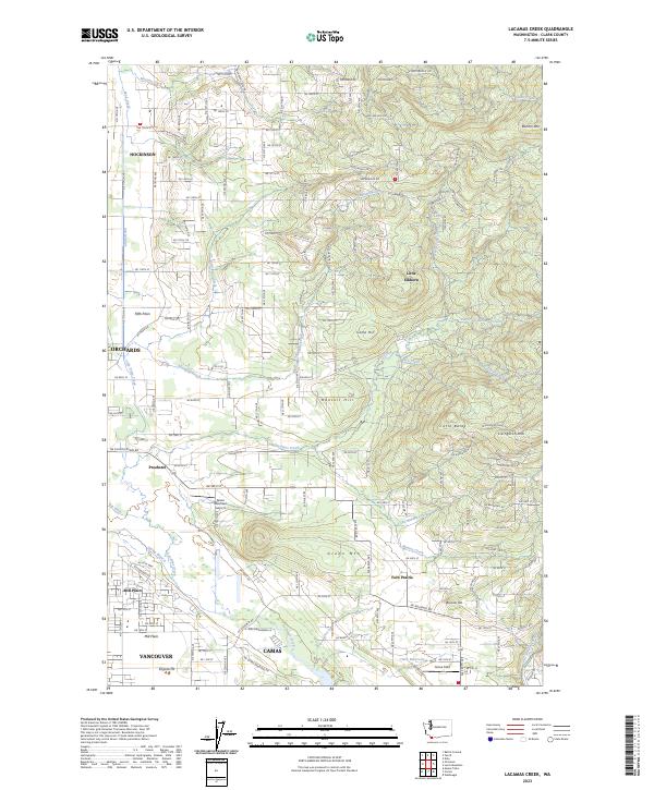
2023 Lacamas Creek
Clark County, WA
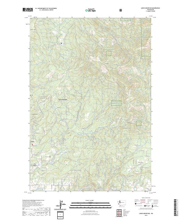
2023 Larch Mountain
Clark County, WA
2023 Yale Dam
Clark County, WA