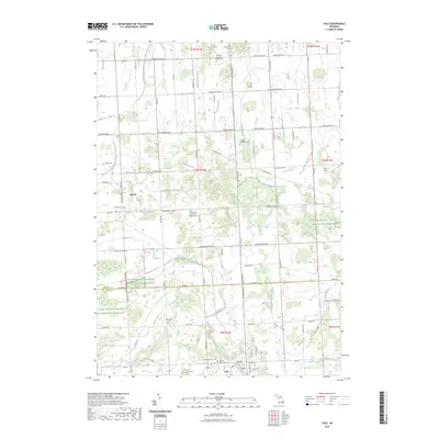
2023 Map of Yale
USGS Topo · Published 2023About this map
The agricultural landscape of the Sanilac and Saint Clair county border is defined by an intricate network of drainage systems and rural burial grounds. The settlement of Yale anchors the southern portion of the map near Mill Creek, while the village of Melvin sits to the northwest. This modern survey illustrates a heavily managed watershed where features like the Sanilac and Saint Clair Drain, Beemer Drain, and Mullaney Drain navigate the flat township blocks. Genealogists will find a high density of regional cemeteries, including Sacred Heart Cem, Speaker Township Cem, and the Immaculate Conception Catholic Cem. These sites, along with family-named landmarks such as the McFadden Cem and Elk Township Cem, reflect the deep-rooted settlement patterns of the surrounding townships. The northern reaches are further marked by Para Field and various tracts managed by the Farm Service Agency.
Find a feature on this map
96 named features on this map. Tap any name to fly to it.
Don’t see what you’re looking for? This feature index may not catch every label — zoom into the map to look around manually.
Map Details
Editions of this 2023 Yale Map
This is the sole edition of this map. No revisions or reprints were ever made.
Other maps of this area

1954 · Flint
USGS Topo · 1:250,000

1958 · Flint
USGS Topo · 1:250,000

1961 · Brown City
USGS Topo · 1:24,000

1961 · Roseburg
USGS Topo · 1:24,000
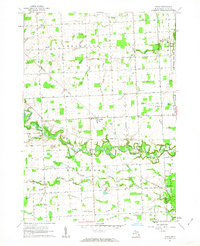
1961 · Avoca
USGS Topo · 1:24,000
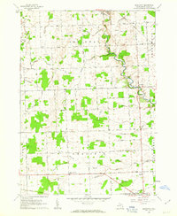
1961 · Brockway
USGS Topo · 1:24,000

1961 · Yale
USGS Topo · 1:24,000
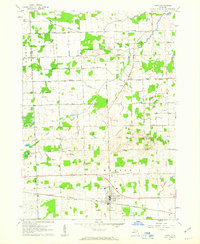
1961 · Capac
USGS Topo · 1:24,000

1963 · Peck
USGS Topo · 1:24,000

1963 · Juhl
USGS Topo · 1:24,000