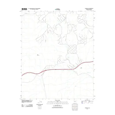
2011 Map of Yampai SE
USGS Topo · Published 2011About this map
Black Mountain anchors the high desert terrain of this Yavapai County landscape, where water management is the primary marker of human presence. This 2011 survey reveals an intricate network of tanks and containment areas scattered across the arid environment, including Pei Tank, Lindburg Tank, and Lost Tank. A more industrial water feature, Slurry Pond Number One, appears near the base of Twin Buttes, suggesting localized mineral processing or industrial activity. The map is dominated by a complex grid of residential or planned roads such as Mesa Pkwy, Potrero Pkwy, and Via de Oro, showcasing the modern development patterns common in this region of Arizona where residential growth intersects with the traditional ranching infrastructure of stock tanks.
Find a feature on this map
84 named features on this map. Tap any name to fly to it.
Don’t see what you’re looking for? This feature index may not catch every label — zoom into the map to look around manually.
Map Details
Editions of this 2011 Yampai SE Map
This is the sole edition of this map. No revisions or reprints were ever made.
Other maps of this area

1886 · Diamond Creek
USGS Topo · 1:250,000

1886 · Chino
USGS Topo · 1:250,000

1891 · Chino
USGS Topo · 1:250,000

1892 · Diamond Creek
USGS Topo · 1:250,000

1947 · Turkey Canyon
USGS Topo · 1:62,500

1948 · Williams
USGS Topo · 1:250,000

1950 · Turkey Canyon
USGS Topo · 1:62,500

1954 · Williams
USGS Topo · 1:250,000

1956 · Williams
USGS Topo · 1:250,000

1960 · Williams
USGS Topo · 1:250,000