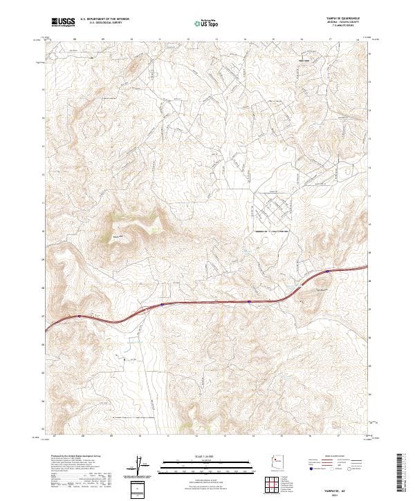
2021 Map of Yampai SE
USGS Topo · Published 2021About this map
Black Mtn dominates the high desert landscape of Yavapai County, where modern residential planning meets a terrain shaped by seasonal water management. The map reveals an intricate network of planned thoroughfares and access roads, including Shadow Mountain Pkwy, El Capitan Rd, and Potrero Prwy, which carve through the arid plateaus. This subdivision-style road grid reflects late 20th-century land development patterns in rural Arizona, often established before significant settlement reached these remote sections.
Find a feature on this map
88 named features on this map. Tap any name to fly to it.
Don’t see what you’re looking for? This feature index may not catch every label — zoom into the map to look around manually.
Map Details
Editions of this 2021 Yampai SE Map
This is the sole edition of this map. No revisions or reprints were ever made.
Other maps of this area

1886 · Diamond Creek
USGS Topo · 1:250,000

1886 · Chino
USGS Topo · 1:250,000

1891 · Chino
USGS Topo · 1:250,000

1892 · Diamond Creek
USGS Topo · 1:250,000

1947 · Turkey Canyon
USGS Topo · 1:62,500

1948 · Williams
USGS Topo · 1:250,000

1950 · Turkey Canyon
USGS Topo · 1:62,500

1954 · Williams
USGS Topo · 1:250,000

1956 · Williams
USGS Topo · 1:250,000

1960 · Williams
USGS Topo · 1:250,000