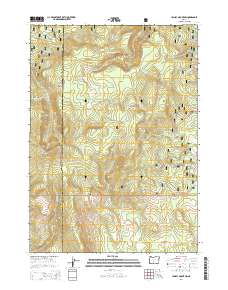
2014 Map of Yamsay Mountain
USGS Topo · Published 2014About this map
Yamsay Mountain dominates this portion of the eastern Cascades, straddling the boundary between the Winema National Forest and Fremont National Forest. This high-altitude landscape is defined by its prominent volcanic topography and a network of high-country meadows and springs. The divide between Klamath and Lake counties runs directly through the center of the sheet, splitting major landforms like Buck Ridge and Jackson Ridge.
Find a feature on this map
29 named features on this map. Tap any name to fly to it.
Don’t see what you’re looking for? This feature index may not catch every label — zoom into the map to look around manually.
Map Details
Editions of this 2014 Yamsay Mountain Map
This is the sole edition of this map. No revisions or reprints were ever made.
Other maps of this area

1889 · Klamath
USGS Topo · 1:250,000

1894 · Klamath
USGS Topo · 1:250,000

1955 · Crescent
USGS Topo · 1:250,000

1955 · Klamath Falls
USGS Topo · 1:250,000

1957 · Crescent
USGS Topo · 1:250,000

1958 · Crescent
USGS Topo · 1:250,000

1958 · Klamath Falls
USGS Topo · 1:250,000

1960 · Sycan Marsh
USGS Topo · 1:62,500

1960 · Yamsay Mountain
USGS Topo · 1:62,500

1968 · Rodman Rock
USGS Topo · 1:24,000