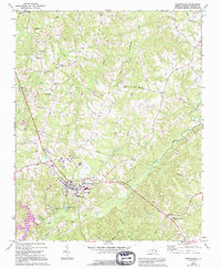
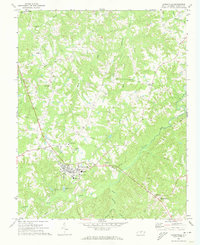
1972 Map of Yanceyville
USGS Topo · Published 1994About this map
Yanceyville serves as the central hub of this Caswell County landscape, surveyed in the early 1970s. The town's civic character is defined by educational and infrastructure landmarks, including the Dillard Jr High Sch, Yancey High Sch, and the Fairgrounds situated near the Oakwood Sch. Beyond the town limits, the geography is shaped by the intricate drainage systems of Rattlesnake Creek and Country Line Creek, which dictate the placement of smaller communities such as Covington, Purley, and Pleasant Grove.
Find a feature on this map
28 named features on this map. Tap any name to fly to it.
Don’t see what you’re looking for? This feature index may not catch every label — zoom into the map to look around manually.
Map Details
Editions of this 1972 Yanceyville Map
2 editions found
Other maps of this area

1923 · Danville
USGS Topo · 1:48,000

1925 · Danville
USGS Topo · 1:62,500

1952 · Milton
USGS Topo · 1:62,500

1953 · Greensboro
USGS Topo · 1:250,000

1954 · Greensboro
USGS Topo · 1:250,000

1956 · Milton
USGS Topo · 1:62,500

1962 · Greensboro
USGS Topo · 1:250,000

1965 · Danville
USGS Topo · 1:24,000

1965 · Ringgold
USGS Topo · 1:24,000

1966 · Greensboro
USGS Topo · 1:250,000