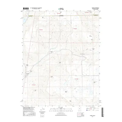
2017 Map of Yankee
USGS Topo · Published 2017About this map
The borderlands of New Mexico and Colorado are defined here by a series of dramatic volcanic plateaus and deep canyons. Barela Mesa and Horse Mesa dominate the northern landscape along the state line, while the southern portion is occupied by the high expanse of Johnson Mesa. The settlement of Yankee sits at a topographic transition point where the E Fork Chicorica Cr winds through its namesake Yankee Canyon. This area historically supported grazing and mining, evidenced by the network of mountain roads like Co RD A-31 and Ranchero Estates RD that navigate the difficult terrain around Sugarite Canyon. Significant landmarks such as Towndrow Peak, Potato Mtn, and the high crossing at Manco Burro Pass highlight the region's complex verticality. Water sources are scarce but vital, with Lake Maloya situated in the northwest corner near the junction of Las Animas Co and Colfax Co.
Find a feature on this map
40 named features on this map. Tap any name to fly to it.
Don’t see what you’re looking for? This feature index may not catch every label — zoom into the map to look around manually.
Map Details
Editions of this 2017 Yankee Map
This is the sole edition of this map. No revisions or reprints were ever made.
Other maps of this area

1892 · Elmoro
USGS Topo · 1:125,000

1893 · Elmoro
USGS Topo · 1:125,000

1897 · Elmoro
USGS Topo · 1:125,000

1912 · Raton
USGS Topo · 1:62,500

1914 · Raton
USGS Topo · 1:62,500

1954 · Raton
USGS Topo · 1:250,000

1954 · Trinidad
USGS Topo · 1:250,000

1955 · Trinidad
USGS Topo · 1:250,000

1958 · Raton
USGS Topo · 1:250,000

1958 · Trinidad
USGS Topo · 1:250,000