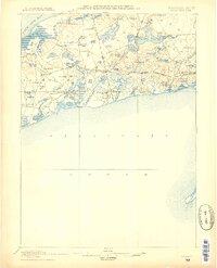
1887 Map of Yarmouth
USGS Topo · Published 1887About this map
Old Colony Railroad corridors define the transport network of this mid-Cape landscape, connecting established maritime villages with new inland stations. The coastline from Yarmouth to Chatham is marked by a complex system of tidal inlets and harbors, including Witchmere Harbor and Allens Harbor, which supported the local fishing and trade economies. Coastal navigation is anchored by Bass River Lt. at the mouth of the river separating South Yarmouth and West Dennis.
Find a feature on this map
92 named features on this map. Tap any name to fly to it.
Don’t see what you’re looking for? This feature index may not catch every label — zoom into the map to look around manually.
Map Details
Editions of this 1887 Yarmouth Map
This is the sole edition of this map. No revisions or reprints were ever made.
Other maps of this area
1887 · Muskeget
USGS Topo · 1:62,500
1887 · Wellfleet
USGS Topo · 1:62,500
1888 · Barnstable
USGS Topo · 1:62,500
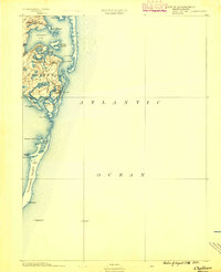
1888 · Chatham
USGS Topo · 1:62,500
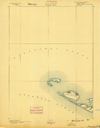
1889 · Muskeget
USGS Topo · 1:62,500
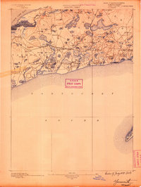
1889 · Yarmouth
USGS Topo · 1:62,500
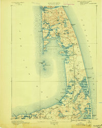
1889 · Wellfleet
USGS Topo · 1:62,500
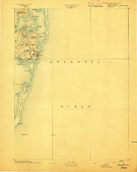
1893 · Chatham
USGS Topo · 1:62,500
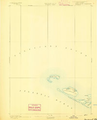
1893 · Muskeget
USGS Topo · 1:62,500
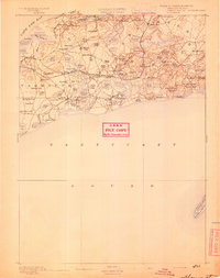
1893 · Yarmouth
USGS Topo · 1:62,500