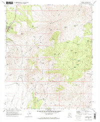
2021 Map of Yarnell
USGS Topo · Published 2021About this map
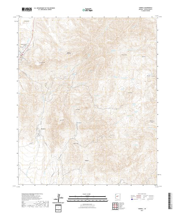
The Weaver Mountains define the high-elevation character of this Yavapai County terrain, where the historic mining settlements of Stanton and Octave sit near the base of the range. The landscape is a network of ridges and drainage systems, notably Antelope Cr and Weaver Cr, which have long drawn prospectors to the vicinity of Rich Hill. The presence of numerous named water sources, such as Goat Camp Spring and Yarnell Spring, indicates the critical role of water management in this arid upland environment.
Find a feature on this map
64 named features on this map. Tap any name to fly to it.
Don’t see what you’re looking for? This feature index may not catch every label — zoom into the map to look around manually.
Map Details
Editions of this 2021 Yarnell Map
This is the sole edition of this map. No revisions or reprints were ever made.
Historical Maps of Yarnell Through Time
5 maps found