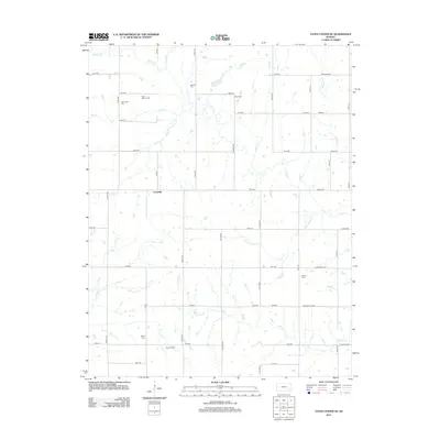
2012 Map of Yates Center SE
USGS Topo · Published 2012About this map
Cookville occupies a central position in this rural Woodson County landscape, where the agricultural grid meets a complex network of prairie streams. The terrain is defined by the winding course of Owl Cr, its southern fork S Owl Cr, and other waterways like Otter Springs Cr and Bloody Run. These creeks historically dictated the placement of family and community landmarks, evidenced by the numerous burial sites scattered across the township including Saint Mary's Cem, Skeeters Cem, and Linder Cem. In the southern portion of the quadrangle, the Rose Oil Field points to the region's historical and ongoing ties to petroleum extraction, providing a clear contrast to the surrounding section-line roads and farmsteads. The intersection of these natural drainage patterns and the strict road grid illustrates the late-20th and early-21st-century development of Kansas's rural interior.
Find a feature on this map
44 named features on this map. Tap any name to fly to it.
Don’t see what you’re looking for? This feature index may not catch every label — zoom into the map to look around manually.
Map Details
Editions of this 2012 Yates Center SE Map
This is the sole edition of this map. No revisions or reprints were ever made.
Other maps of this area

1886 · Fredonia
USGS Topo · 1:125,000

1886 · Iola
USGS Topo · 1:125,000

1893 · Iola
USGS Topo · 1:125,000

1894 · Fredonia
USGS Topo · 1:125,000

1904 · Iola
USGS Topo · 1:125,000

1938 · Altoona
USGS Topo · 1:62,500

1939 · Altoona
USGS Topo · 1:48,000

1943 · Altoona
USGS Topo · 1:62,500

1947 · Joplin
USGS Topo · 1:250,000

1949 · Joplin
USGS Topo · 1:250,000