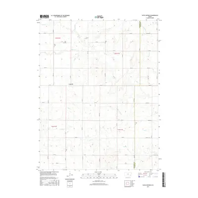
2015 Map of Yates Center SE
USGS Topo · Published 2015About this map
Cookville sits at the heart of this Woodson County landscape, surrounded by an extensive network of family and community burial grounds that speak to the area's deep-rooted agricultural history. The terrain is defined by the winding paths of several watercourses, including Owl Cr, E Buffalo Cr, and the notably named Bloody Run. These streams intersect a rigid grid of rural roads, such as Violet Rd and Ute Rd, which partition the prairie into the townships of t25s r16e, t25s r17e, and t26s r16e. For those researching local lineages, the distribution of small cemeteries like Saint Mary's Cem, Skeeters Cem, and Oliver Cem provides specific geographic anchors for early settlers across the Woodson and Allen County line. The map captures a quintessential Kansas rural layout where small settlements and rural landmarks are connected by a web of named secondary roads spanning from California Rd to Maryland Rd.
Find a feature on this map
54 named features on this map. Tap any name to fly to it.
Don’t see what you’re looking for? This feature index may not catch every label — zoom into the map to look around manually.
Map Details
Editions of this 2015 Yates Center SE Map
This is the sole edition of this map. No revisions or reprints were ever made.
Other maps of this area

1886 · Fredonia
USGS Topo · 1:125,000

1886 · Iola
USGS Topo · 1:125,000

1893 · Iola
USGS Topo · 1:125,000

1894 · Fredonia
USGS Topo · 1:125,000

1904 · Iola
USGS Topo · 1:125,000

1938 · Altoona
USGS Topo · 1:62,500

1939 · Altoona
USGS Topo · 1:48,000

1943 · Altoona
USGS Topo · 1:62,500

1947 · Joplin
USGS Topo · 1:250,000

1949 · Joplin
USGS Topo · 1:250,000