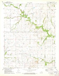
1971 Map of Yates Center SE
USGS Topo · Published 1973About this map
A landscape defined by early land boundaries and the extraction of natural resources, this area of Kansas is bisected by the Old Indian Treaty Boundary. The rural topography is dotted with family and community burial grounds, including Skeeters Cem, St Marys Cem, and Owl Creek Cem, while a Townhall stands as a focal point for local governance. The Missouri Pacific railroad cuts through the northeastern corner, supporting the regional economy alongside an extensive Oil Field and numerous Gas Wells. Waterways like Owl Creek and East Buffalo Creek wind through the terrain, with a Gaging Station monitoring the flow. The presence of Maple Grove Ch and the small settlement of Cookville reflect the quiet, dispersed nature of this Woodson County community during the early 1970s.
Find a feature on this map
34 named features on this map. Tap any name to fly to it.
Don’t see what you’re looking for? This feature index may not catch every label — zoom into the map to look around manually.
Map Details
Editions of this 1971 Yates Center SE Map
This is the sole edition of this map. No revisions or reprints were ever made.
Other maps of this area

1886 · Fredonia
USGS Topo · 1:125,000

1886 · Iola
USGS Topo · 1:125,000

1893 · Iola
USGS Topo · 1:125,000

1894 · Fredonia
USGS Topo · 1:125,000

1904 · Iola
USGS Topo · 1:125,000

1938 · Altoona
USGS Topo · 1:62,500

1939 · Altoona
USGS Topo · 1:48,000

1943 · Altoona
USGS Topo · 1:62,500

1947 · Joplin
USGS Topo · 1:250,000

1949 · Joplin
USGS Topo · 1:250,000