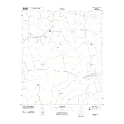
2011 Map of Yatesville
USGS Topo · Published 2011About this map
Yatesville serves as the primary hub of this landscape, situated near the headwaters of Israel Creek and Tobler Creek. The area is notably dense with family and community burial grounds, including Andrews Chapel Cemetery, Salem Cemetery, and Grays Chapel Cemetery, which offer significant data points for genealogists tracing regional history. The rural character is defined by a network of local routes like Piedmont Rd and Bailey Mill Rd, connecting small settlements such as Topeka Junction and The Rock. Water resources are prevalent throughout the terrain, with numerous small impoundments like White Lake, Nash Lake, and McGehee Lake punctuating the landscape, alongside larger drainage systems like Auchumpkee Creek and Echeconnee Creek. This survey captures the region as a stable agricultural and residential corridor in the early 21st century.
Find a feature on this map
76 named features on this map. Tap any name to fly to it.
Don’t see what you’re looking for? This feature index may not catch every label — zoom into the map to look around manually.
Map Details
Editions of this 2011 Yatesville Map
This is the sole edition of this map. No revisions or reprints were ever made.
Other maps of this area

1935 · Thomaston
USGS Topo · 1:48,000

1939 · Thomaston
USGS Topo · 1:62,500

1951 · Yatesville
USGS Topo · 1:62,500

1951 · Barnesville
USGS Topo · 1:62,500

1953 · Atlanta
USGS Topo · 1:250,000

1955 · Phenix City
USGS Topo · 1:250,000

1957 · Phenix City
USGS Topo · 1:250,000

1957 · Atlanta
USGS Topo · 1:250,000

1958 · Phenix City
USGS Topo · 1:250,000

1958 · Atlanta
USGS Topo · 1:250,000