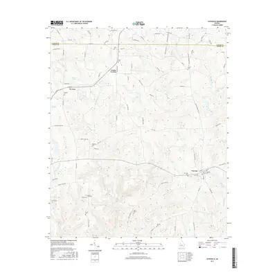
2017 Map of Yatesville
USGS Topo · Published 2017About this map
Yatesville and The Rock anchor this agricultural and timber landscape along the boundary between Lamar Co and Upson Co. The area is characterized by a high density of rural burial grounds, serving as a critical resource for genealogists researching local families. These include the Stephens, Andrews Chapel, Grays Chapel, and Traylor cemeteries. Water sources like Sullivan Creek, Israel Creek, and Tobler Creek drain the undulating terrain, feeding into several named impoundments such as Nash Lake and White Lake. The settlement at Topeka Junction indicates a historical intersection of rail and road, while the surrounding grid of local routes like Rock Hill School Road and Liberty Chapel Road reflects the community centers of previous generations. The distribution of these features suggests a landscape that has maintained its rural character and family-owned lands into the early 21st century.
Find a feature on this map
87 named features on this map. Tap any name to fly to it.
Don’t see what you’re looking for? This feature index may not catch every label — zoom into the map to look around manually.
Map Details
Editions of this 2017 Yatesville Map
This is the sole edition of this map. No revisions or reprints were ever made.
Other maps of this area

1935 · Thomaston
USGS Topo · 1:48,000

1939 · Thomaston
USGS Topo · 1:62,500

1951 · Yatesville
USGS Topo · 1:62,500

1951 · Barnesville
USGS Topo · 1:62,500

1953 · Atlanta
USGS Topo · 1:250,000

1955 · Phenix City
USGS Topo · 1:250,000

1957 · Phenix City
USGS Topo · 1:250,000

1957 · Atlanta
USGS Topo · 1:250,000

1958 · Phenix City
USGS Topo · 1:250,000

1958 · Atlanta
USGS Topo · 1:250,000