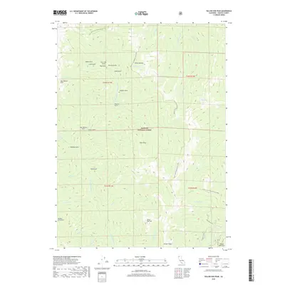
2018 Map of Yellow Dog Peak
USGS Topo · Published 2018About this map
Yellow Dog Peak and Bear Wallow Peak stand as prominent landmarks in this high-altitude section of the Klamath National Forest. The landscape is defined by the intersection of the Marble Mountains and the Salmon Mountains, where the Pacific Crest National Scenic Trail winds northward past Shelly Meadows and Razor Ridge.
Find a feature on this map
45 named features on this map. Tap any name to fly to it.
Don’t see what you’re looking for? This feature index may not catch every label — zoom into the map to look around manually.
Map Details
Editions of this 2018 Yellow Dog Peak Map
This is the sole edition of this map. No revisions or reprints were ever made.
Other maps of this area

1886 · Shasta
USGS Topo · 1:250,000

1894 · Shasta
USGS Topo · 1:250,000

1914 · Seiad
USGS Topo · 1:125,000

1922 · Seiad
USGS Topo · 1:125,000

1923 · Sawyers Bar
USGS Topo · 1:125,000

1931 · Etna
USGS Topo · 1:96,000

1932 · Yreka
USGS Topo · 1:96,000

1934 · Etna
USGS Topo · 1:125,000

1939 · Yreka
USGS Topo · 1:125,000

1948 · Weed
USGS Topo · 1:250,000