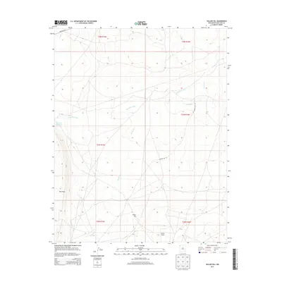
2013 Map of Yellow Hill
USGS Topo · Published 2013About this map
Yellow Hill and Tocito Dome anchor this arid landscape in the Shiprock Agency region of San Juan County. This survey reveals a terrain defined by intermittent waterways and topographical extremes, where drainage patterns like Dead Mans Wash and Pajarito Cr carve through the high desert floor. The presence of Big Gap Reservoir suggests a concentrated effort to manage water in an otherwise dry environment. Transportation is limited to a few primary corridors, most notably the Red Rock Hwy in the northwest and an Unknown Dirt Rd that traverses the central sections. The map provides a precise look at the land survey system, including townships t27n r19w and t28n r18w, reflecting the complex administrative boundaries of the Navajo Nation and the American Southwest.
Find a feature on this map
14 named features on this map. Tap any name to fly to it.
Don’t see what you’re looking for? This feature index may not catch every label — zoom into the map to look around manually.
Map Details
Editions of this 2013 Yellow Hill Map
This is the sole edition of this map. No revisions or reprints were ever made.
Other maps of this area

1889 · Chaco
USGS Topo · 1:250,000

1892 · Chaco
USGS Topo · 1:250,000

1927 · Sulphur Spring
USGS Topo · 1:96,000

1928 · Kirtland
USGS Topo · 1:125,000

1932 · Kirtland
USGS Topo · 1:125,000

1934 · Ship Rock
USGS Topo · 1:62,500

1937 · Ship Rock
USGS Topo · 1:62,500

1953 · Sanostee
USGS Topo · 1:62,500

1954 · Shiprock
USGS Topo · 1:250,000

1958 · Shiprock
USGS Topo · 1:250,000