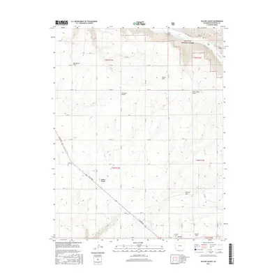
2016 Map of Yellow Jacket
USGS Topo · Published 2016About this map
Yellow Jacket and the neighboring community of Lewis serve as the primary hubs in this agricultural and canyon-streaked portion of Montezuma County. The landscape is defined by the transition from high plateau farmland to the deep incisions of Yellow Jacket Canyon and Sandstone Canyon. The northeast corner reveals the wilder terrain of the San Juan National Forest, where the Dolores River carves through Ferris Canyon near Lone Dome. Human engineering is visible in the sophisticated irrigation network supporting local growers, featuring the Dove Cr Canal and the U-Lateral. Genealogists will find the locations of Fairview Cem and Sunnyside Cem useful for documenting early families in the region. The grid of county roads, such as Co RD 19 and Co RD 21, highlights the organized settlement pattern that persists alongside the natural drainages of Ryman Draw and Brumley Draw.
Find a feature on this map
46 named features on this map. Tap any name to fly to it.
Don’t see what you’re looking for? This feature index may not catch every label — zoom into the map to look around manually.
Map Details
Editions of this 2016 Yellow Jacket Map
This is the sole edition of this map. No revisions or reprints were ever made.
Other maps of this area

1956 · Cortez
USGS Topo · 1:250,000

1958 · Cortez
USGS Topo · 1:250,000

1959 · Cortez
USGS Topo · 1:250,000

1962 · Cortez
USGS Topo · 1:250,000

1965 · Cahone
USGS Topo · 1:24,000

1965 · Woods Canyon
USGS Topo · 1:24,000

1965 · Dolores West
USGS Topo · 1:24,000

1965 · Yellow Jacket
USGS Topo · 1:24,000
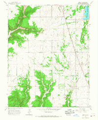
1965 · Arriola
USGS Topo · 1:24,000
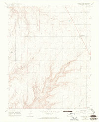
1965 · Pleasant View
USGS Topo · 1:24,000