
1965 Map of Cahone
USGS Topo · Published 1967About this map
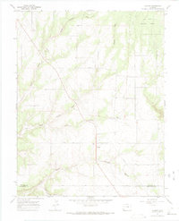
Cahone serves as the focal point of this mid-1960s survey, situated along the primary corridor of U.S. 160. The landscape is defined by an intricate drainage system where numerous deep cuts like Cross Canyon, Sharp Canyon, and Alkali Canyon carve through the plateau. This era shows the community infrastructure in detail, including the Cahone Sch and Cahone Ch, located near a local Cem.
Find a feature on this map
16 named features on this map. Tap any name to fly to it.
Don’t see what you’re looking for? This feature index may not catch every label — zoom into the map to look around manually.
Map Details
Editions of this 1965 Cahone Map
2 editions found
Other maps of this area

1956 · Cortez
USGS Topo · 1:250,000

1957 · Cedar 3 NW
USGS Topo · 1:24,000

1957 · Cedar 3 SW
USGS Topo · 1:24,000

1958 · Cortez
USGS Topo · 1:250,000

1959 · Cortez
USGS Topo · 1:250,000

1962 · Cortez
USGS Topo · 1:250,000
1964 · Secret Canyon
USGS Topo · 1:24,000

1964 · The Glade
USGS Topo · 1:24,000
1964 · Dove Creek
USGS Topo · 1:24,000

1965 · Yellow Jacket
USGS Topo · 1:24,000