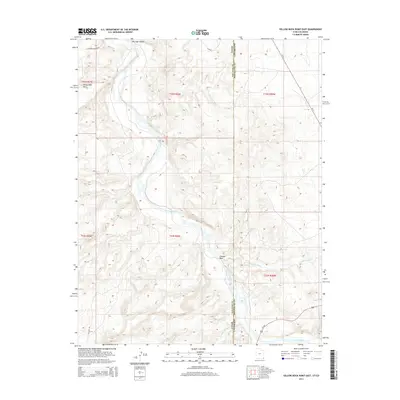
2014 Map of Yellow Rock Point East
USGS Topo · Published 2014About this map
The San Juan River meanders through the high desert landscape of the San Juan Valley in this modern topographical study of the Four Corners region. Marking the border between Utah and Colorado, the map captures a desolate yet vital corridor where the San Juan and Montezuma county lines meet. The terrain is defined by dry drainage systems such as Cowboy Wash and Toh Dahstini Wash, which feed toward the river basin. Prominent landmarks like Yellow Rock Point stand above the township and range grids of t42s r26e and t33n r20w. While the area is largely uninhabited, the infrastructure of the early 21st century is present via Us-160 and local routes like Clay Rd, serving as essential transit links through this arid borderland.
Find a feature on this map
17 named features on this map. Tap any name to fly to it.
Don’t see what you’re looking for? This feature index may not catch every label — zoom into the map to look around manually.
Map Details
Editions of this 2014 Yellow Rock Point East Map
This is the sole edition of this map. No revisions or reprints were ever made.
Other maps of this area

1886 · Abajo
USGS Topo · 1:250,000

1889 · Chaco
USGS Topo · 1:250,000

1892 · Abajo
USGS Topo · 1:250,000

1892 · Chaco
USGS Topo · 1:250,000

1892 · Canyon De Chelly
USGS Topo · 1:250,000

1893 · Abajo
USGS Topo · 1:250,000

1934 · Rattlesnake
USGS Topo · 1:62,500

1937 · Rattlesnake
USGS Topo · 1:62,500

1953 · Pastora Peak NW
USGS Topo · 1:24,000

1953 · Pastora Peak NE
USGS Topo · 1:24,000