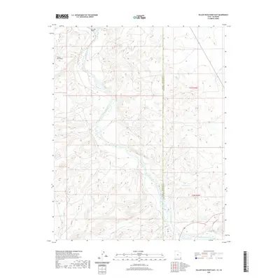
2020 Map of Yellow Rock Point East
USGS Topo · Published 2020About this map
The San Juan River meanders through this high-desert landscape on the border of Utah and Colorado, defining the topography of the San Juan Valley. This 2020 USGS survey captures the intersection of San Juan County and Montezuma County, where the terrain is marked by significant drainage features like Cowboy Wash and the Toh Dahstini Wash. While the area is dominated by natural landforms, including the prominent Yellow Rock Point, the map reveals a network of local infrastructure such as C R 474 and Indian Rte 239. These roads provide essential transit across the varied elevation of the Four Corners region, connecting remote points in a landscape shaped by river erosion and desert washes.
Find a feature on this map
11 named features on this map. Tap any name to fly to it.
Don’t see what you’re looking for? This feature index may not catch every label — zoom into the map to look around manually.
Map Details
Editions of this 2020 Yellow Rock Point East Map
This is the sole edition of this map. No revisions or reprints were ever made.
Other maps of this area

1886 · Abajo
USGS Topo · 1:250,000

1889 · Chaco
USGS Topo · 1:250,000

1892 · Abajo
USGS Topo · 1:250,000

1892 · Chaco
USGS Topo · 1:250,000

1892 · Canyon De Chelly
USGS Topo · 1:250,000

1893 · Abajo
USGS Topo · 1:250,000

1934 · Rattlesnake
USGS Topo · 1:62,500

1937 · Rattlesnake
USGS Topo · 1:62,500

1953 · Pastora Peak NW
USGS Topo · 1:24,000

1953 · Pastora Peak NE
USGS Topo · 1:24,000