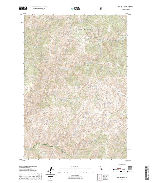
2024 Map of Yellowjacket
USGS Topo · Published 2024About this map
Yellowjacket remains the central point of interest in this high-altitude landscape where the Yellowjacket Mountains meet the deep drainages of the Salmon River tributaries. The map shows a complex network of forest development and trails, including the Mine Spur Yellowjacket, which points to the area's legacy of extraction. Much of the territory is protected within the Frank Church-River of No Return Wilderness and across the boundaries of the Salmon National Forest and Challis National Forest. Notable water features such as Hot Springs and Camas Creek suggest the geothermal and hydraulic character of the terrain. The presence of numerous named gulches, such as Van Horn Gulch and Slaughterhouse Gulch, further indicates a landscape shaped by both natural erosion and specific historical activities like ranching or mining.
Find a feature on this map
36 named features on this map. Tap any name to fly to it.
Don’t see what you’re looking for? This feature index may not catch every label — zoom into the map to look around manually.
Map Details
Editions of this 2024 Yellowjacket Map
This is the sole edition of this map. No revisions or reprints were ever made.
Other maps of this area

1930 · Casto
USGS Topo · 1:125,000

1950 · Blackbird Mtn
USGS Topo · 1:62,500

1951 · Blackbird Mtn
USGS Topo · 1:62,500

1956 · Elk City
USGS Topo · 1:250,000

1957 · Challis
USGS Topo · 1:250,000

1960 · Elk City
USGS Topo · 1:250,000

1960 · Challis
USGS Topo · 1:250,000

1962 · Hoodoo Meadows
USGS Topo · 1:24,000

1962 · Puddin Mtn
USGS Topo · 1:24,000

1963 · Challis
USGS Topo · 1:250,000