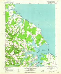
1943 Map of Yeocomico River
USGS Topo · Published 1962About this map
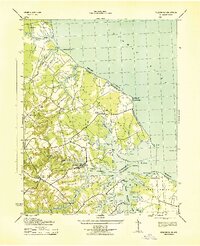
Kinsale stands as a primary hub of activity on this 1943 survey, situated along the fingers of the West Yeocomico River where navigation and tidal access defined the local economy. The landscape is characterized by its intricate shoreline of coves and points, including Cherry Point Neck and Sandy Point, which reach into the broad Potomac River. Inland, the map reveals a network of rural settlements and family-named landmarks like Carys Corner and Grays Corner, reflecting the agricultural and maritime heritage of the Northern Neck during the World War II era.
Find a feature on this map
56 named features on this map. Tap any name to fly to it.
Don’t see what you’re looking for? This feature index may not catch every label — zoom into the map to look around manually.
Map Details
Editions of this 1943 Yeocomico River Map
2 editions found
Other maps of this area

1892 · Piney Point
USGS Topo · 1:62,500

1894 · Piney Point
USGS Topo · 1:62,500

1894 · Point Lookout
USGS Topo · 1:62,500

1895 · Nomini
USGS Topo · 1:125,000

1895 · Piney Point
USGS Topo · 1:62,500

1898 · Nomini
USGS Topo · 1:125,000

1898 · St. Marys
USGS Topo · 1:125,000

1901 · Piney Point
USGS Topo · 1:62,500

1906 · St. Marys
USGS Topo · 1:125,000

1912 · Point Lookout
USGS Topo · 1:62,500