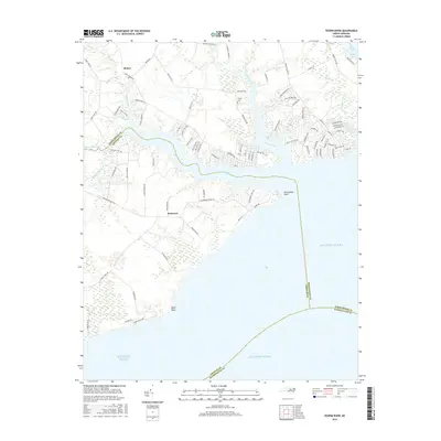
2016 Map of Yeopim River
USGS Topo · Published 2016About this map
Somerset and Bethel anchor the landscape where the Yeopim River meets the Albemarle Sound, defining a region where coastal wetlands and tidal creeks dictate the pattern of human settlement. The geography is dominated by intricate waterways, including Bethel Creek, Middleton Creek, and Yeopim Creek, which branch out into the surrounding Chowan and Perquimans counties. At the northern edge of the map, the Philips Cem remains a quiet landmark of local genealogy near the winding banks of the river.
Find a feature on this map
94 named features on this map. Tap any name to fly to it.
Don’t see what you’re looking for? This feature index may not catch every label — zoom into the map to look around manually.
Map Details
Editions of this 2016 Yeopim River Map
This is the sole edition of this map. No revisions or reprints were ever made.
Other maps of this area

1904 · Edenton
USGS Topo · 1:62,500

1906 · Hertford
USGS Topo · 1:62,500

1940 · Hertford
USGS Topo · 1:62,500

1942 · Edenton
USGS Topo · 1:62,500

1943 · Columbia
USGS Topo · 1:125,000

1943 · Plymouth
USGS Topo · 1:125,000

1943 · Edenton
USGS Topo · 1:62,500

1953 · Norfolk
USGS Topo · 1:250,000

1953 · Columbia West
USGS Topo · 1:24,000

1953 · Rocky Mount
USGS Topo · 1:250,000