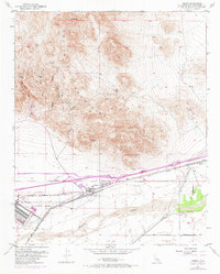
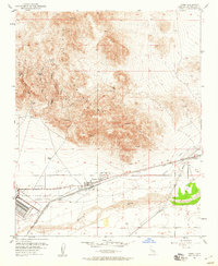
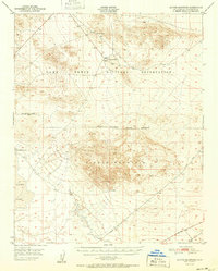
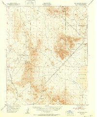
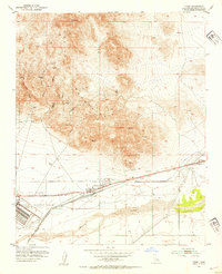
1953 Map of Yermo
USGS Topo · Published 1971About this map
The Calico Mountains dominate the northern landscape of this map, revealing a complex network of mining history and high-desert terrain. In the shadow of Calico Peak, the historic silver-mining camp at Calico and the nearby Bismarck (Site) are surrounded by a labyrinth of canyons like Odessa Canyon and Wall Street Canyon. These features point to the region's late 19th-century boom and its subsequent evolution into a destination for desert exploration.
Find a feature on this map
29 named features on this map. Tap any name to fly to it.
Don’t see what you’re looking for? This feature index may not catch every label — zoom into the map to look around manually.
Map Details
Editions of this 1953 Yermo Map
3 editions found
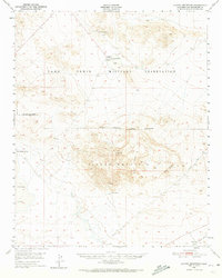
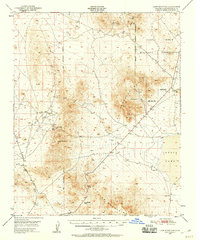
Other maps of this area

1933 · Avawatz Mountains
USGS Topo · 1:250,000

1947 · Trona
USGS Topo · 1:250,000

1948 · Trona
USGS Topo · 1:250,000
1948 · Alvord Mountain
USGS Topo · 1:62,500
1948 · Lane Mountain
USGS Topo · 1:62,500
1951 · Alvord Mountain
USGS Topo · 1:62,500
1951 · Lane Mountain
USGS Topo · 1:62,500

1953 · San Bernardino
USGS Topo · 1:250,000
1953 · Yermo
USGS Topo · 1:24,000

1953 · Trona
USGS Topo · 1:250,000