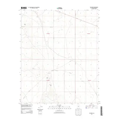
2013 Map of Yeso Mesa
USGS Topo · Published 2013About this map
Yeso Mesa and the nearby Yeso Hills define the high desert topography of this De Baca County landscape. The area is characterized by sparse settlement and a network of county roads that service remote ranching operations. Traces of local land tenure are evident at Perez Ranch and R Perez Ranch, while the small settlement of Cardenas sits near the northern boundary. The transport corridor of Us-60 E cuts diagonally across the northeastern corner of the quadrangle, providing the primary arterial link through this arid terrain. Notable local routes such as Hangman Rd and Agua-Buena-Rd suggest a history of travel and movement between the plateaus and the lower hills during this era of modern land management.
Find a feature on this map
22 named features on this map. Tap any name to fly to it.
Don’t see what you’re looking for? This feature index may not catch every label — zoom into the map to look around manually.
Map Details
Editions of this 2013 Yeso Mesa Map
This is the sole edition of this map. No revisions or reprints were ever made.
Other maps of this area

1954 · Fort Sumner
USGS Topo · 1:250,000

1958 · Fort Sumner
USGS Topo · 1:250,000

1966 · El Morro Mesa
USGS Topo · 1:24,000

1966 · Borica SW
USGS Topo · 1:24,000

1966 · Yeso NW
USGS Topo · 1:24,000

1978 · El Morro Ranch SE
USGS Topo · 1:24,000

1978 · El Morro Ranch
USGS Topo · 1:24,000

1979 · Fort Sumner
USGS Topo · 1:100,000

1981 · Loco Draw
USGS Topo · 1:24,000

1981 · Yeso Mesa
USGS Topo · 1:24,000